|
|
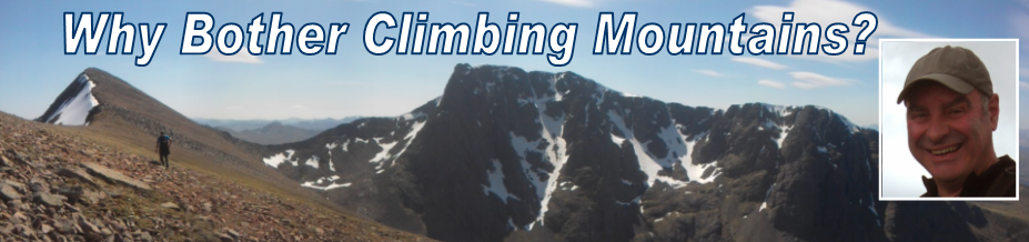
BASECAMP |
|
|
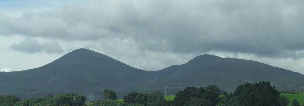
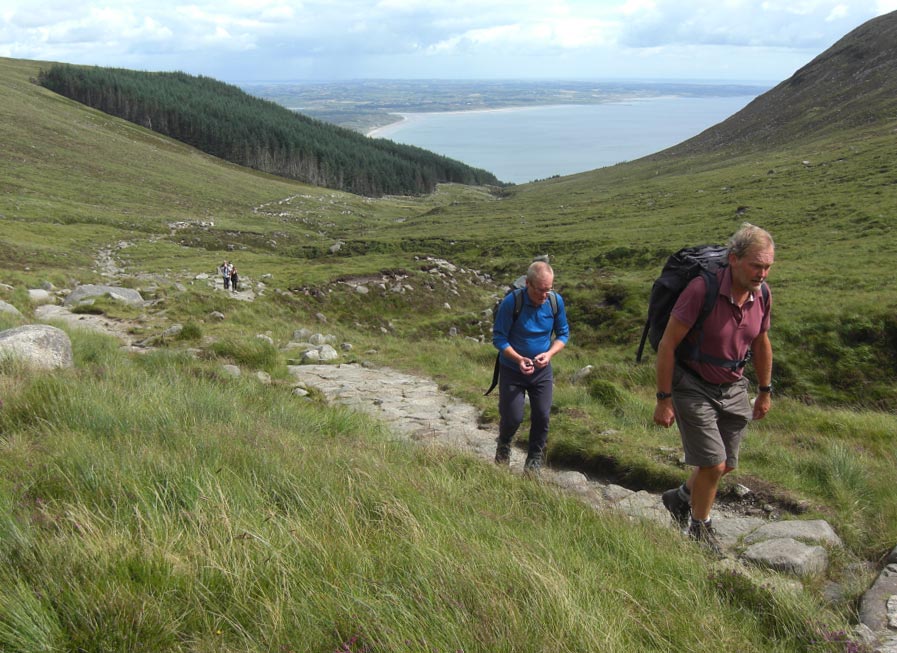
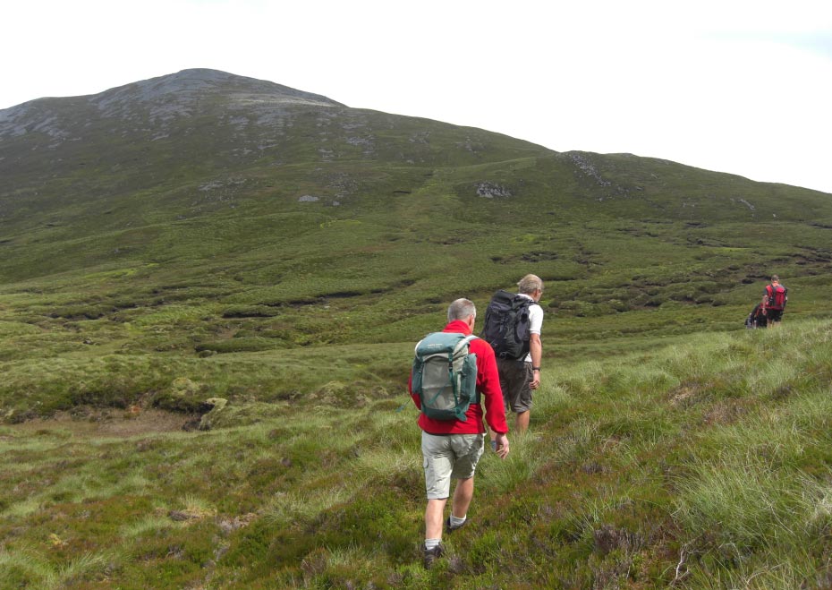
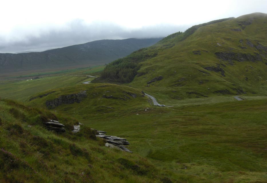
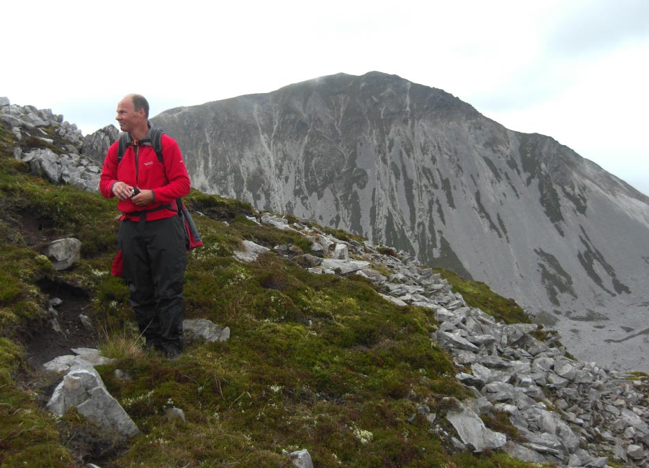
![]() Slieve Donard and
Slieve Commedagh From The Road Just North of Newcastle, Co Down
Slieve Donard and
Slieve Commedagh From The Road Just North of Newcastle, Co Down
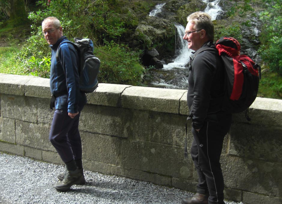
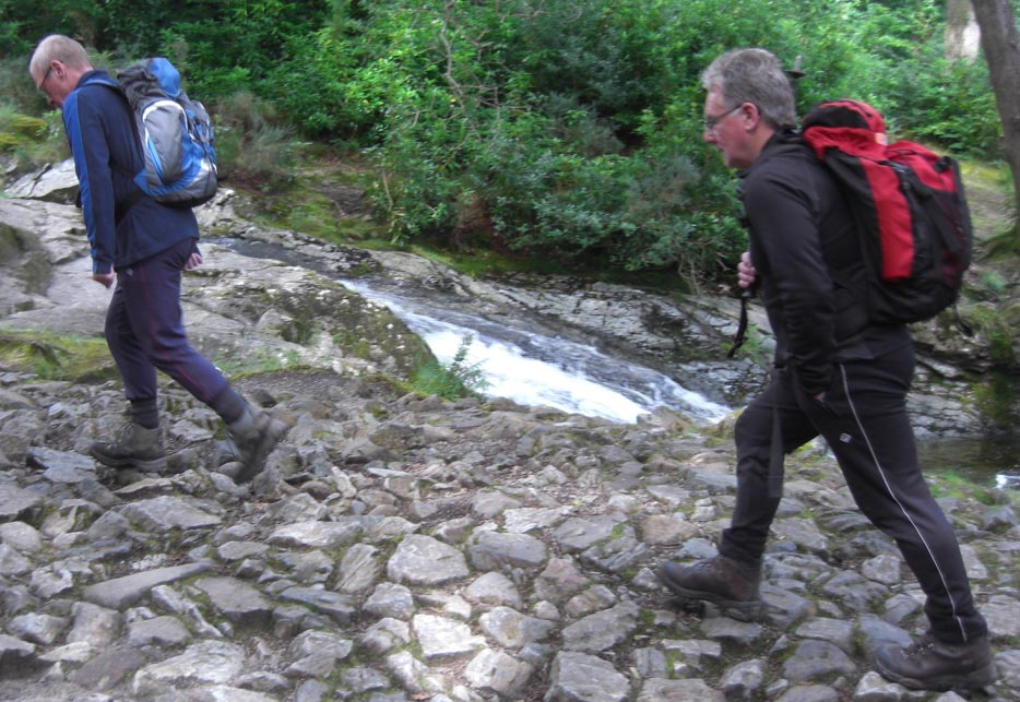
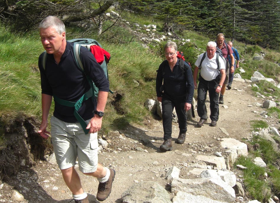
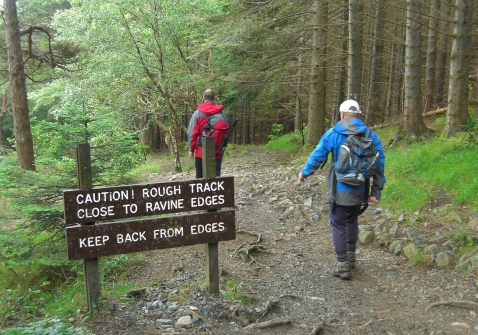
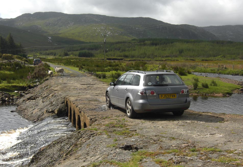
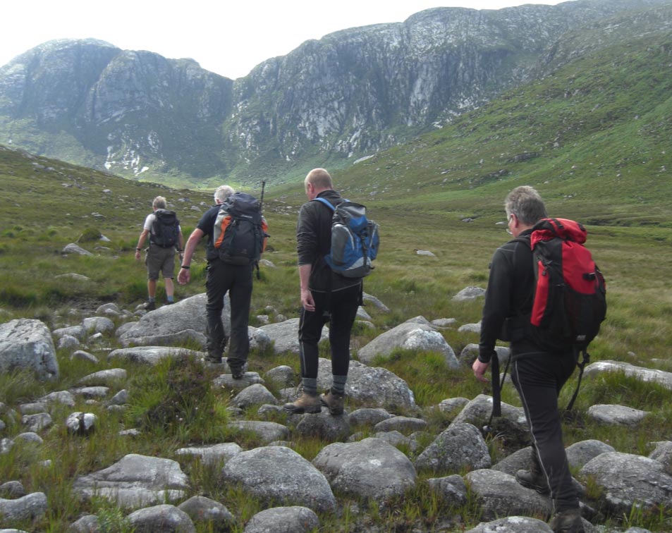
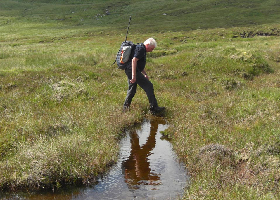
![]() Crossing The River
at The Back of The Car Park in Newcastle
Crossing The River
at The Back of The Car Park in Newcastle
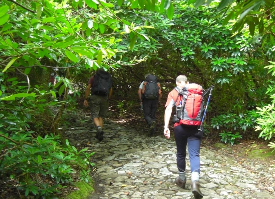
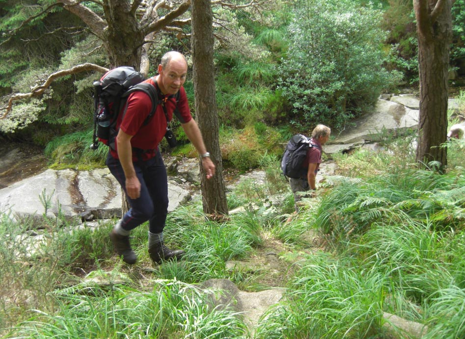
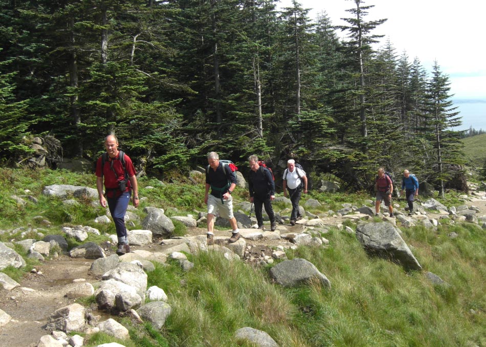
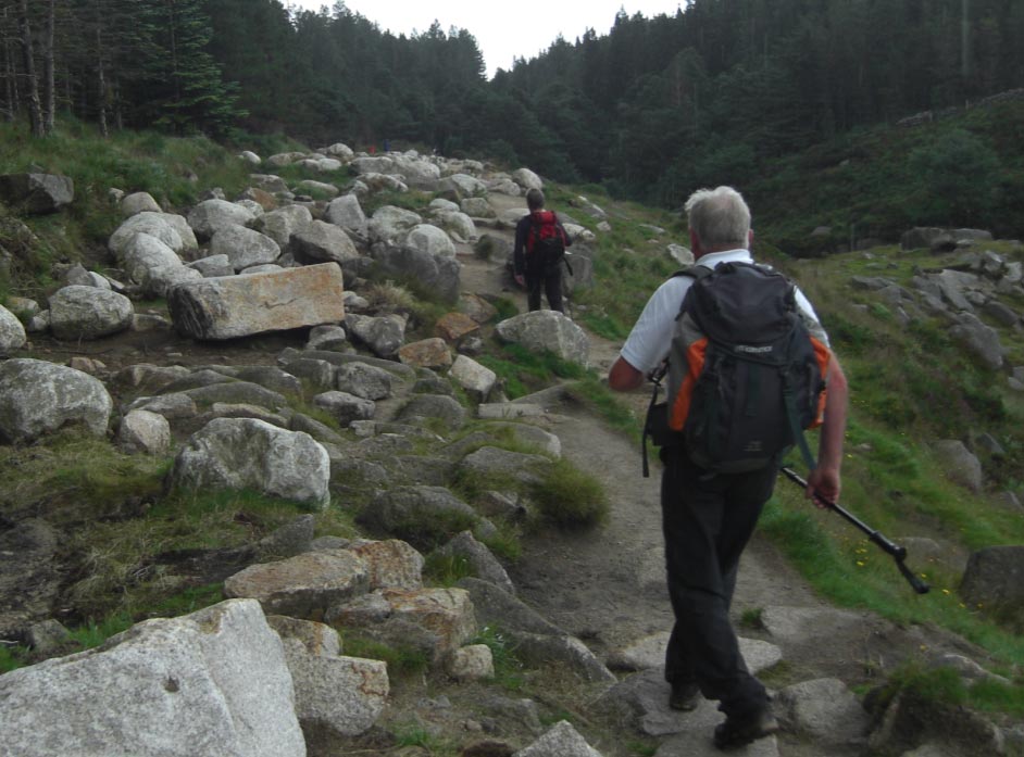
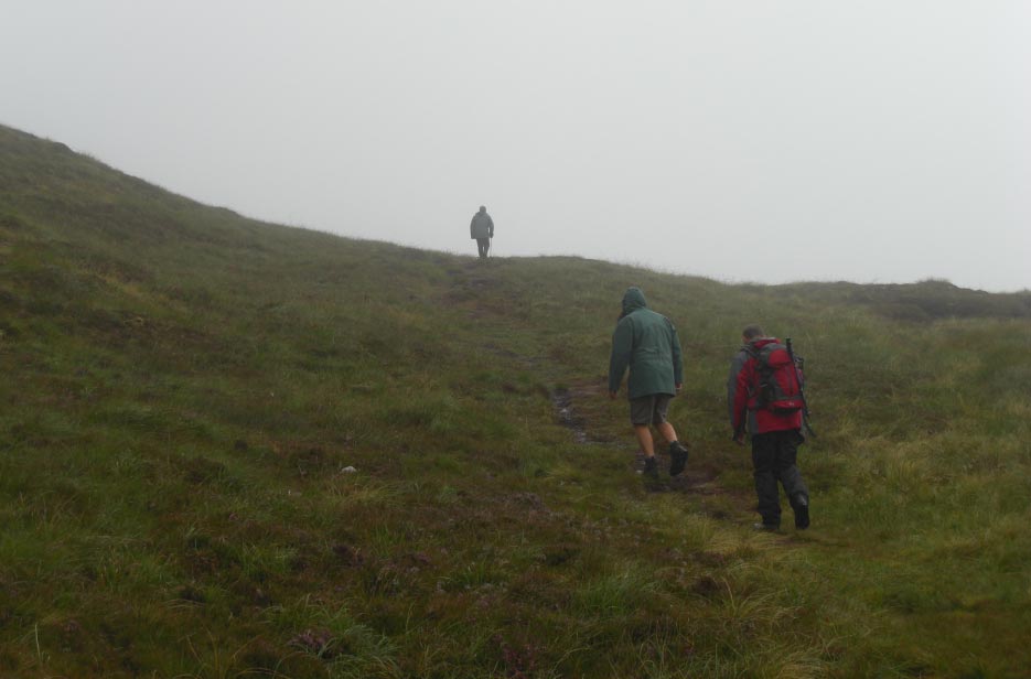
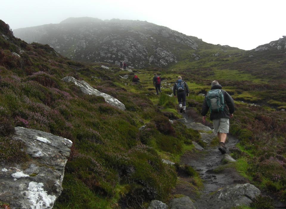
![]() A Good Path Takes
up Through The Roderdendrums
A Good Path Takes
up Through The Roderdendrums
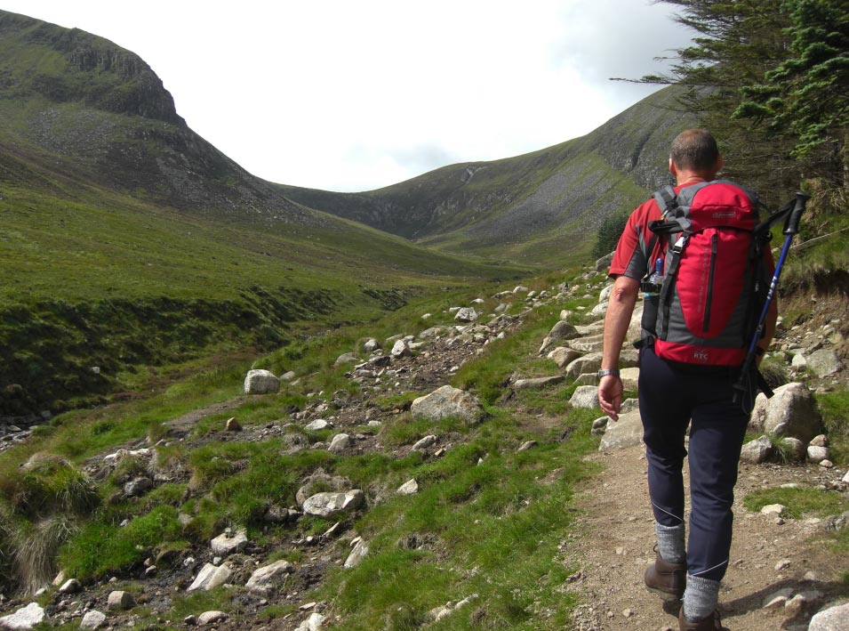
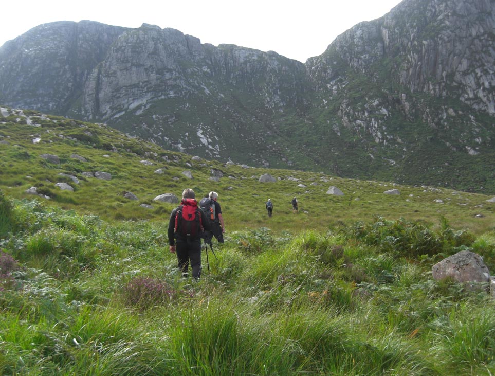
![]() Following The River
up its Eastern Bank
Following The River
up its Eastern Bank
![]() Taking The High
Road
Taking The High
Road
![]() Crossing Over to
The Western Bank
Crossing Over to
The Western Bank
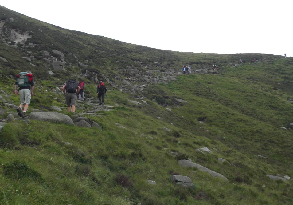
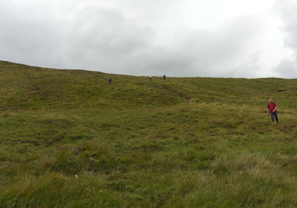
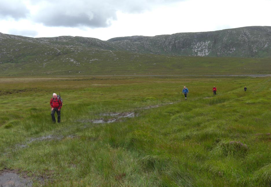
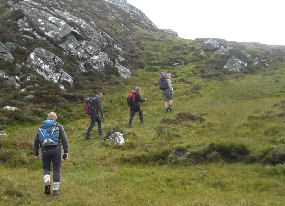
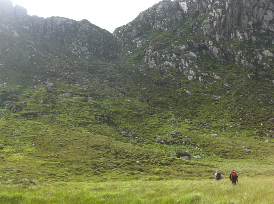
![]() Out into More Open
Space
Out into More Open
Space
![]() The Sun Comes Out
The Sun Comes Out
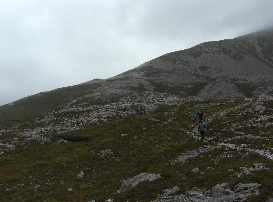
![]() We Can Now See
Where we Are Heading
We Can Now See
Where we Are Heading
![]() Still Following The
River at The Side of Donard Wood
Still Following The
River at The Side of Donard Wood
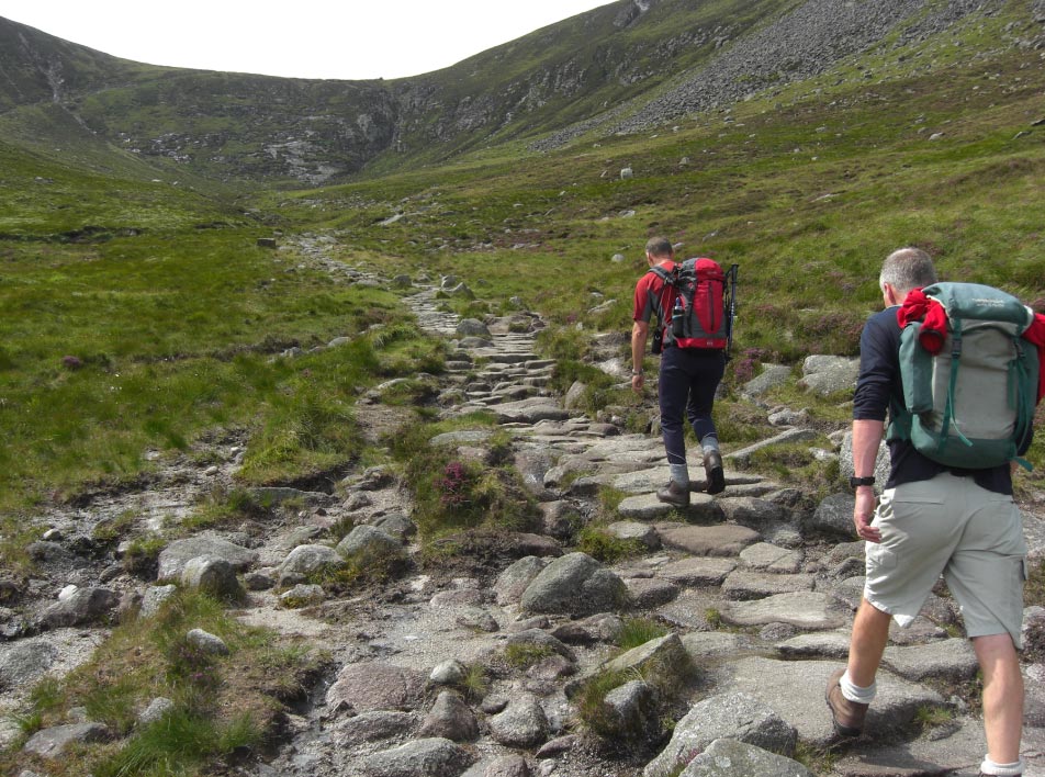
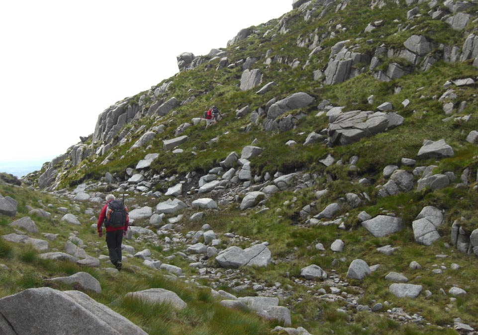
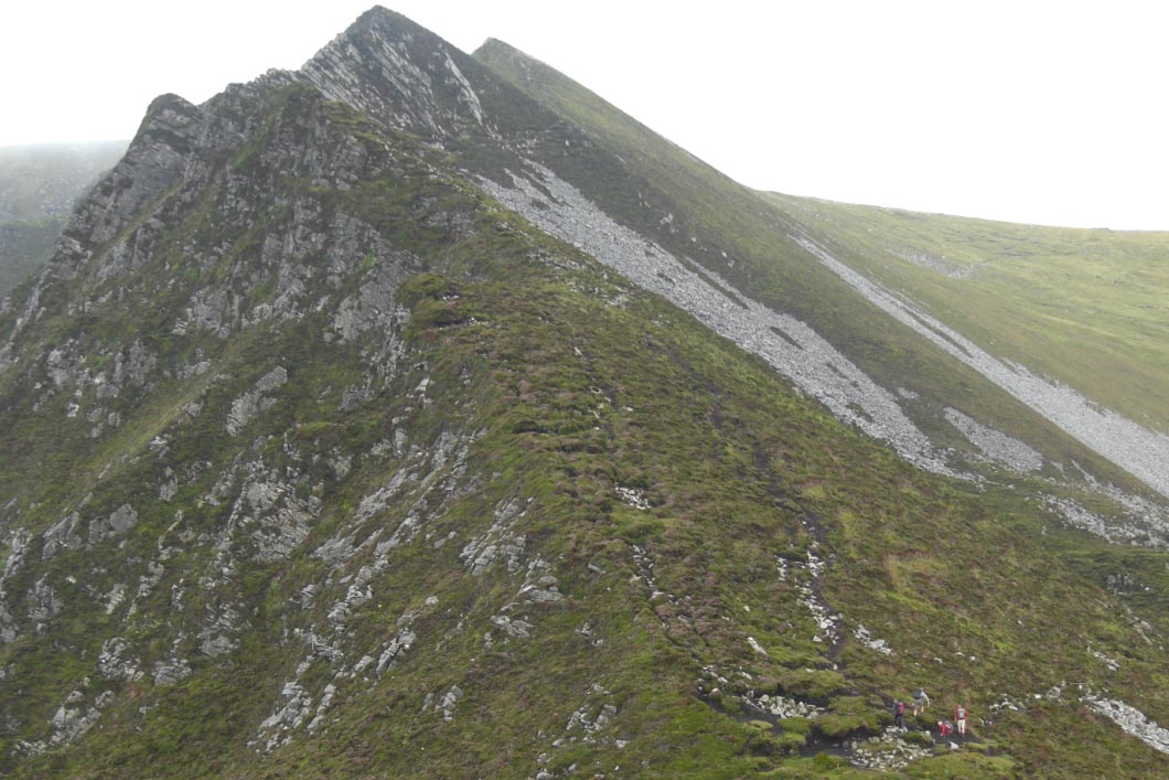
![]() The Path Will Lead
us All The Way to The Lowest Point on The Skyline
The Path Will Lead
us All The Way to The Lowest Point on The Skyline
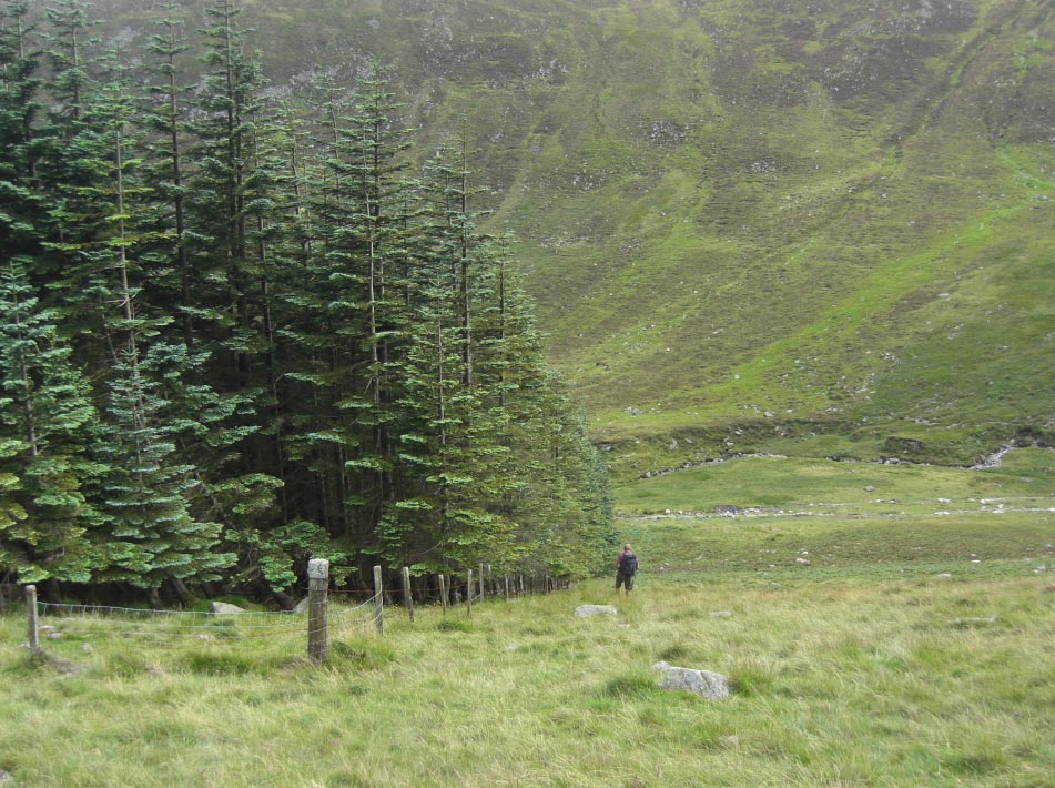
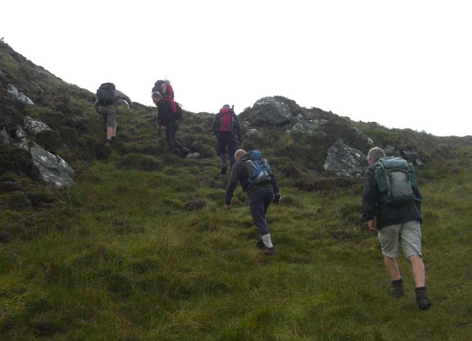
![]() Leaving The Wood
Way Behind
Leaving The Wood
Way Behind
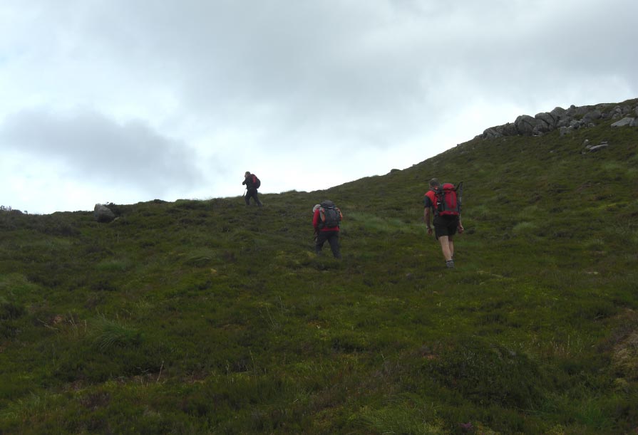
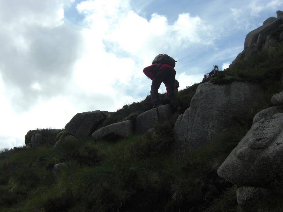
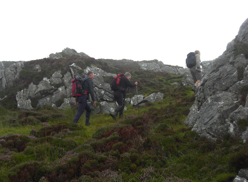
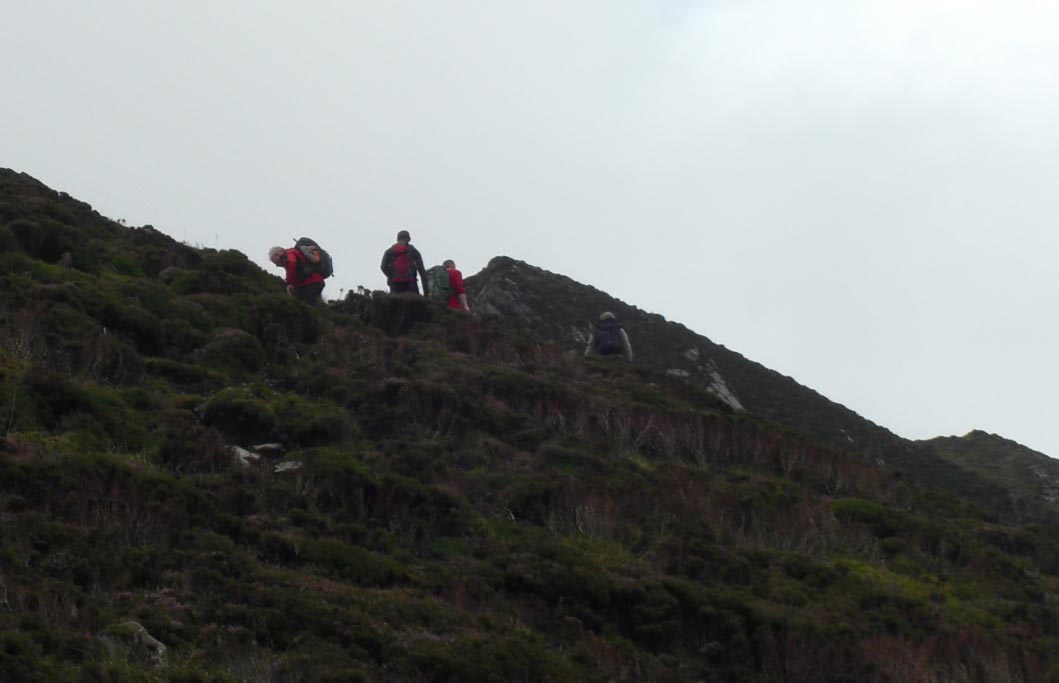
![]() Approaching The Col
Approaching The Col
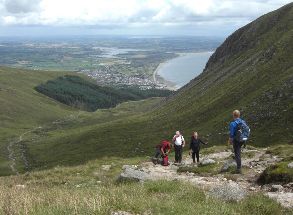
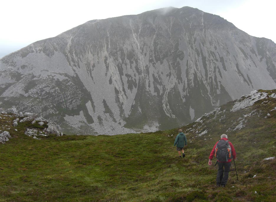
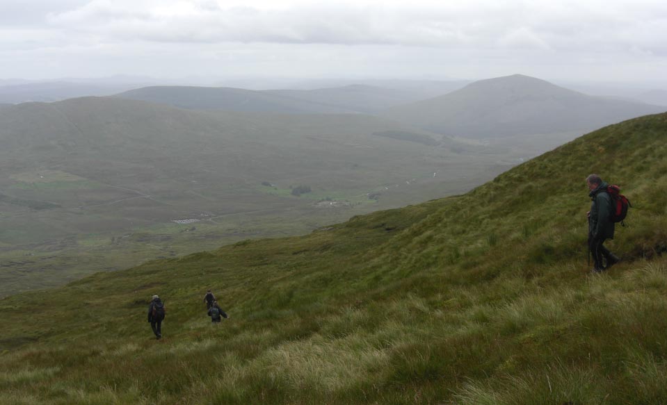
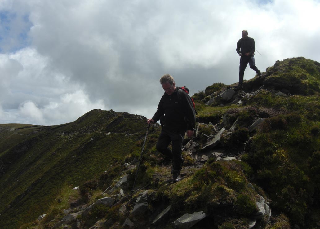
![]() Time to Look Back
at Our Path up From Newcastle
Time to Look Back
at Our Path up From Newcastle
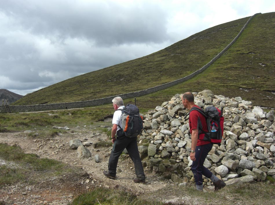
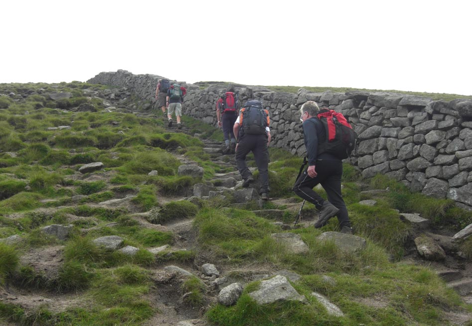
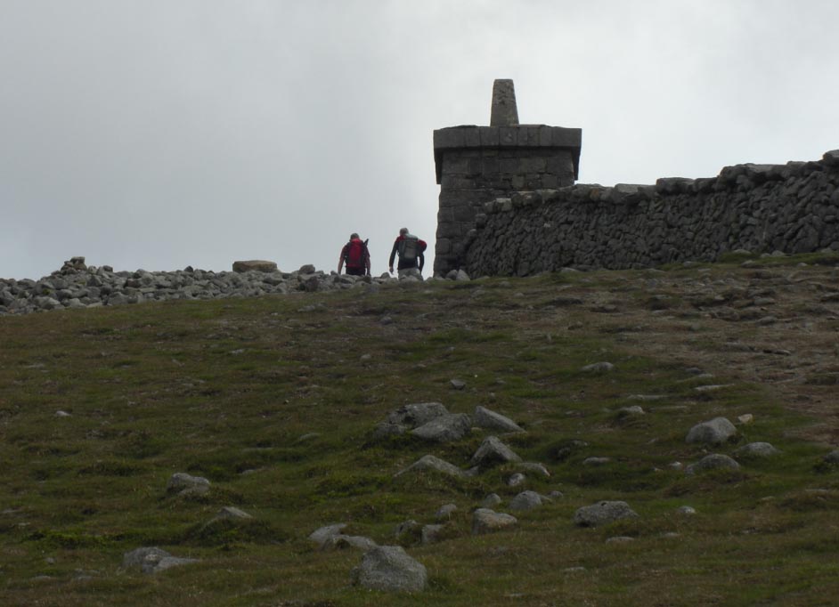
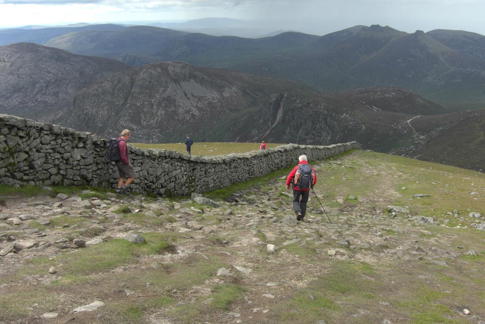
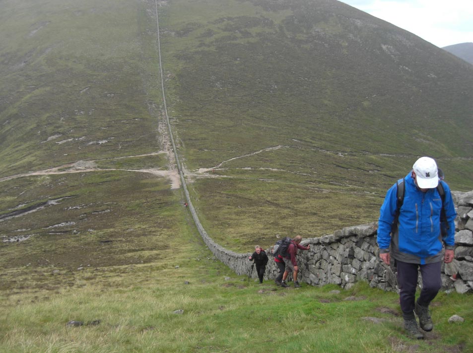
![]() The Mourne Wall That
Links 15 Summits Built by The Belfast Water Commissioners Built in The 1800s
The Mourne Wall That
Links 15 Summits Built by The Belfast Water Commissioners Built in The 1800s
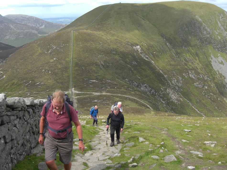
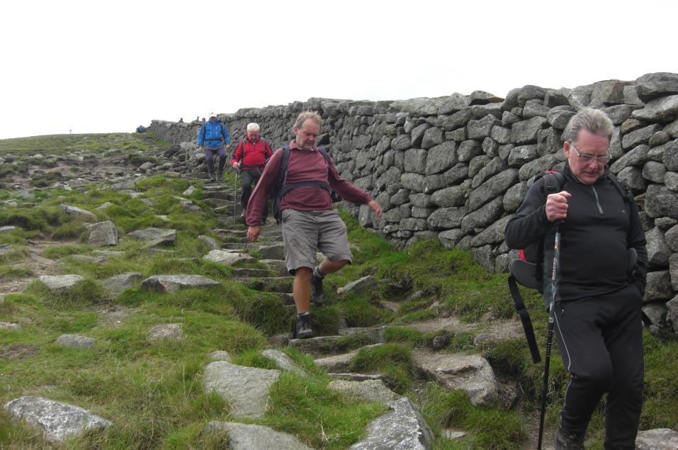
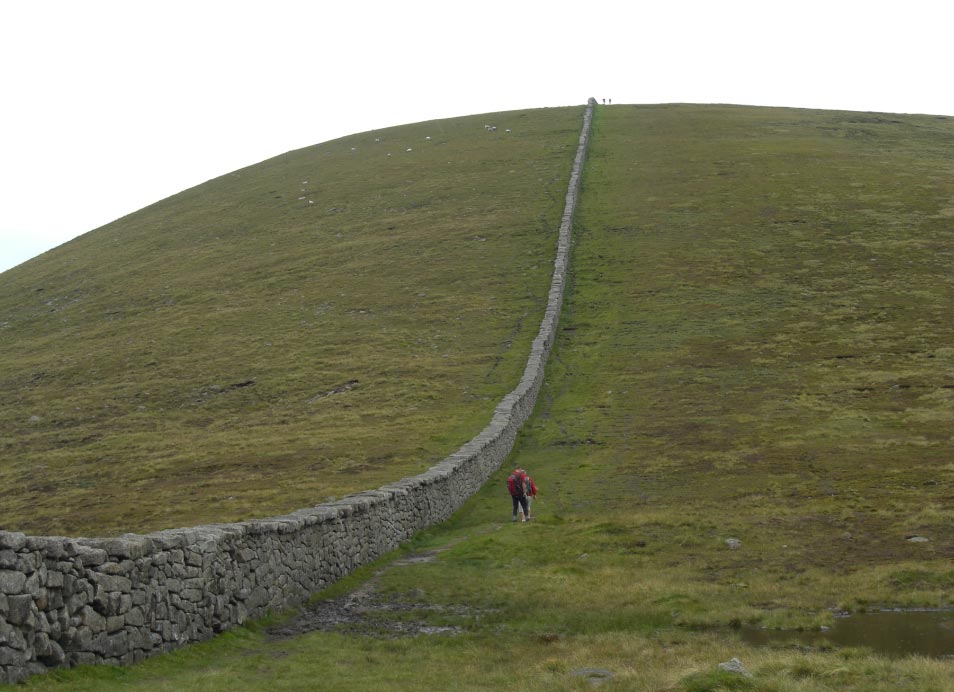
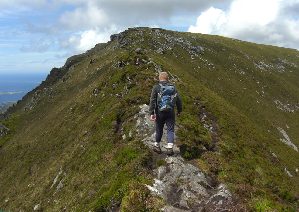
![]() Following The Wall
to Slieve Donard
Following The Wall
to Slieve Donard

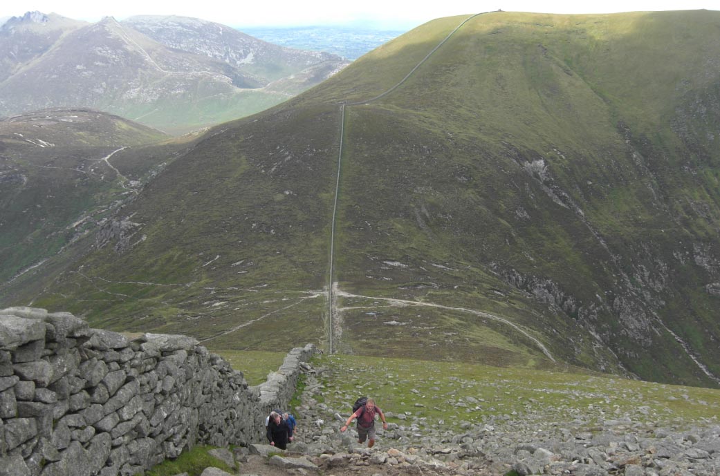
![]() The Wall Gets
Steeper
The Wall Gets
Steeper
![]() Behind us The Wall
Goes All The Way to Slieve Commedagh
Behind us The Wall
Goes All The Way to Slieve Commedagh
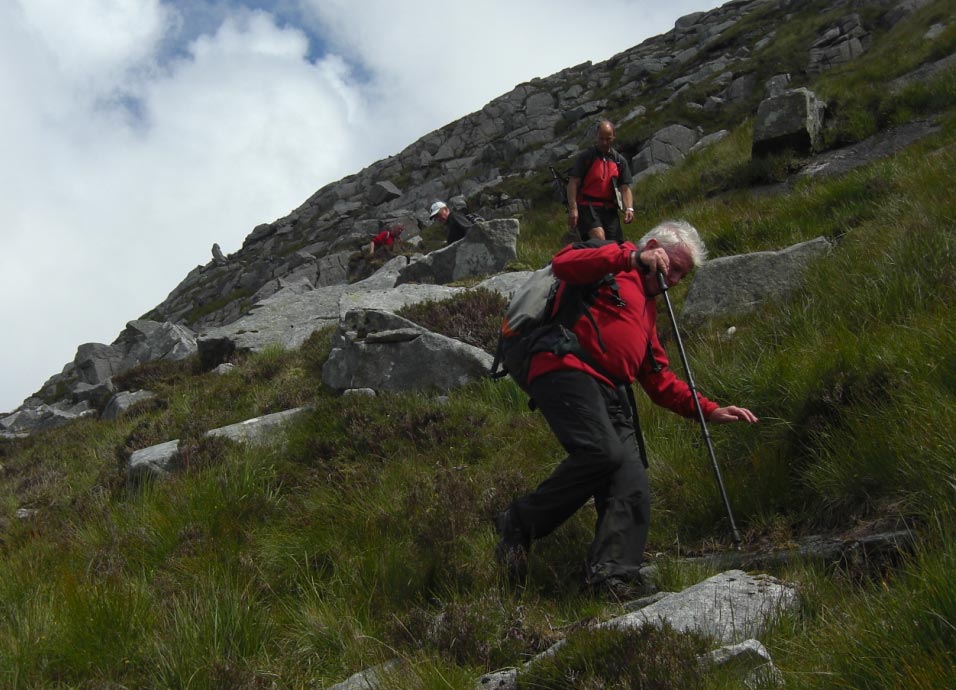
![]() Higher we go
Higher we go
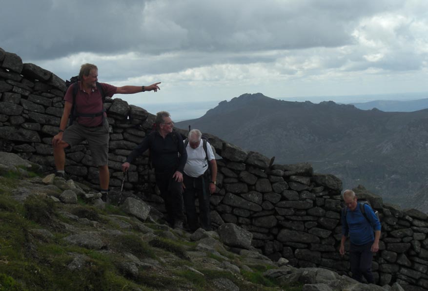
![]() Pointing Over to Slieve Commedagh
Pointing Over to Slieve Commedagh
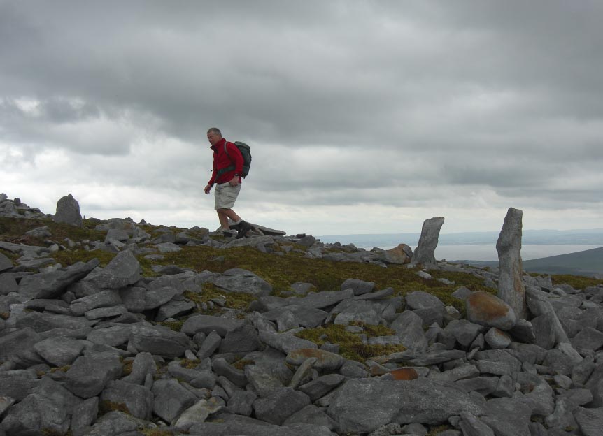
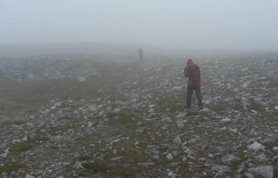
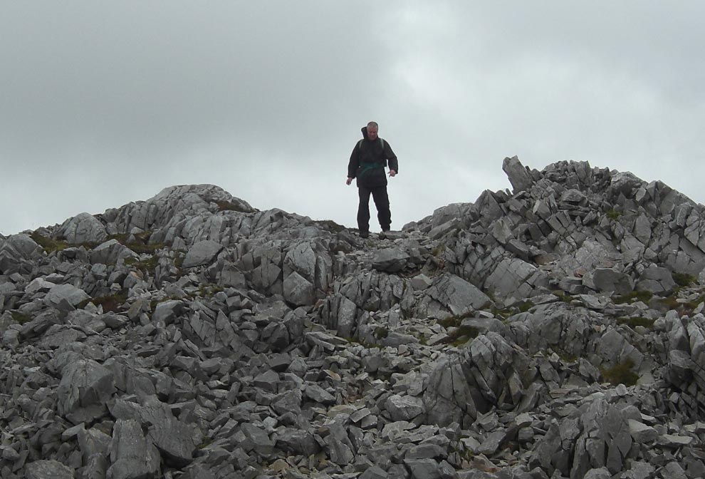
![]() Reaching The Top of Slieve Donard
Reaching The Top of Slieve Donard
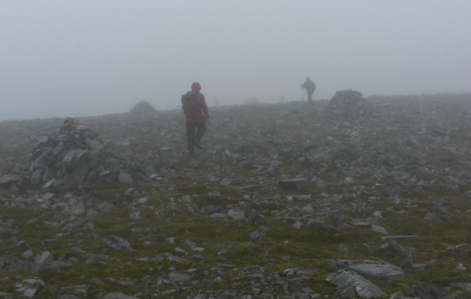
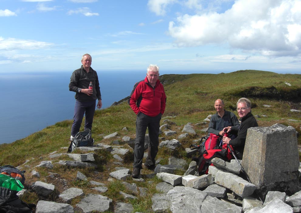
![]() Lunch Time on The Summit of Slieve Donard
Lunch Time on The Summit of Slieve Donard
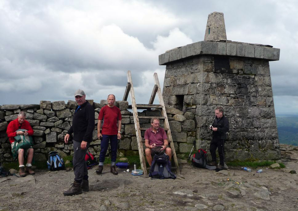
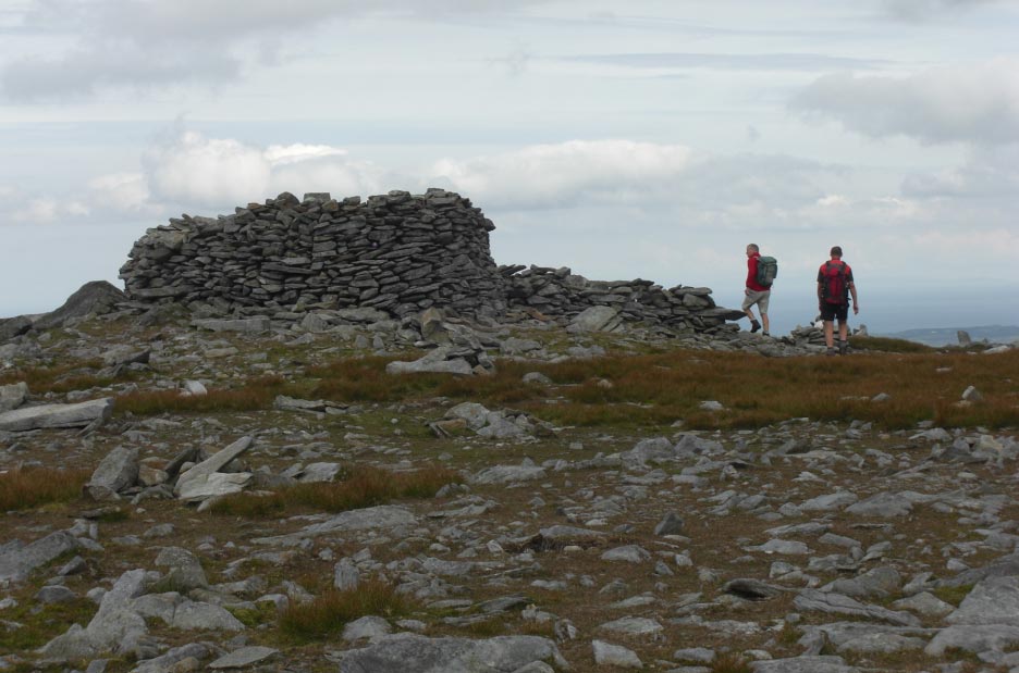
![]() The Summit of Slieve Donard
The Summit of Slieve Donard
![]() Getting Ready to
Leave The Summit of Slieve Donard
Getting Ready to
Leave The Summit of Slieve Donard
![]() Following The Wall
All The Way Back to The Col
Following The Wall
All The Way Back to The Col
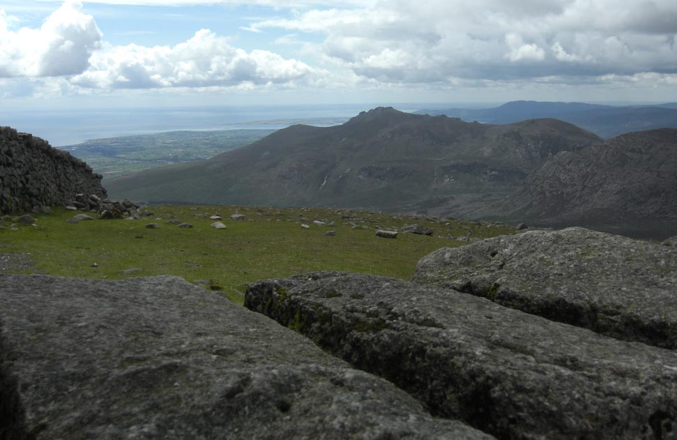
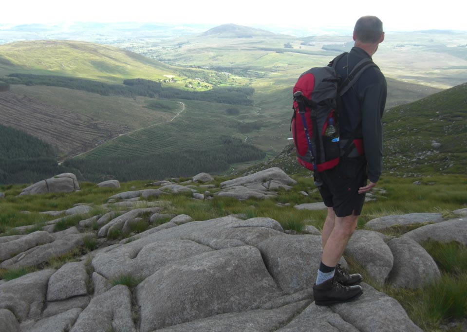
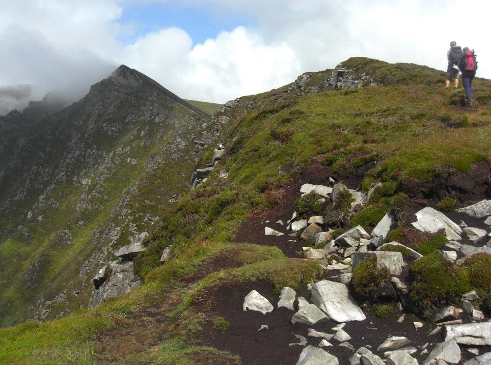
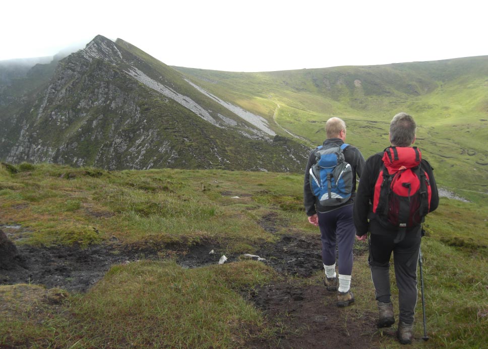
![]() Slieve Bearnagh
From Slieve Donard
Slieve Bearnagh
From Slieve Donard
![]() Not Far Now
Not Far Now
![]() Heading up The
Other Side of The Col Towards Slieve Commedagh
Heading up The
Other Side of The Col Towards Slieve Commedagh
![]() Looking Back at The
Col
Looking Back at The
Col
![]() Nearly There
Nearly There
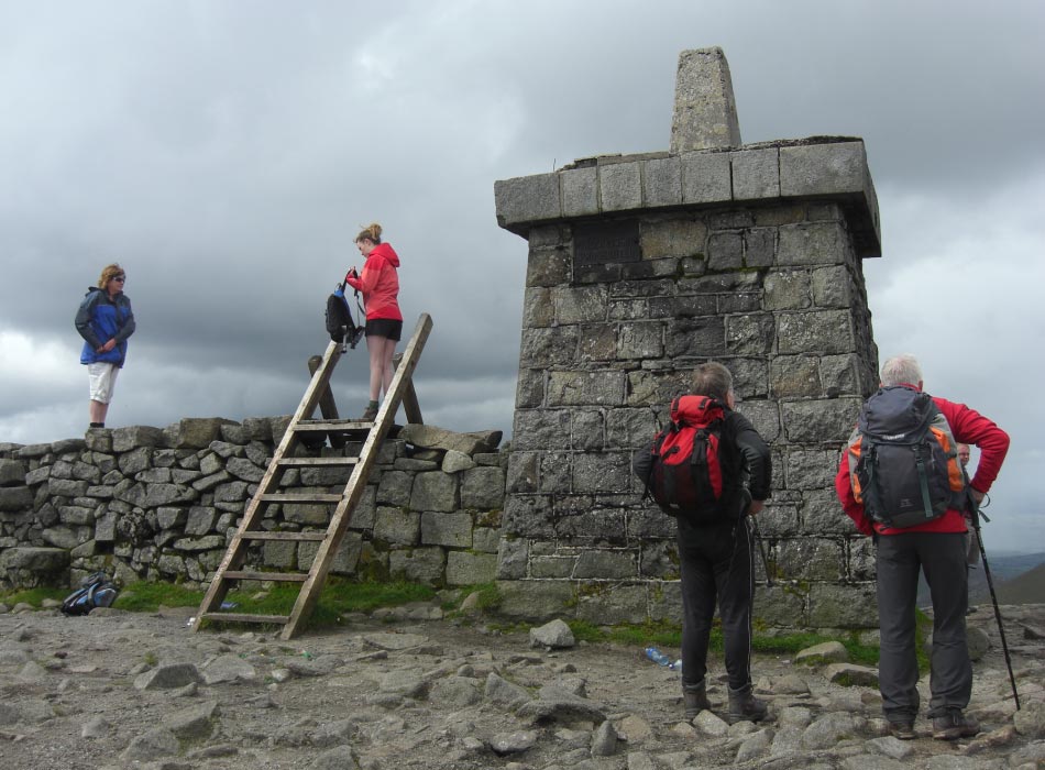
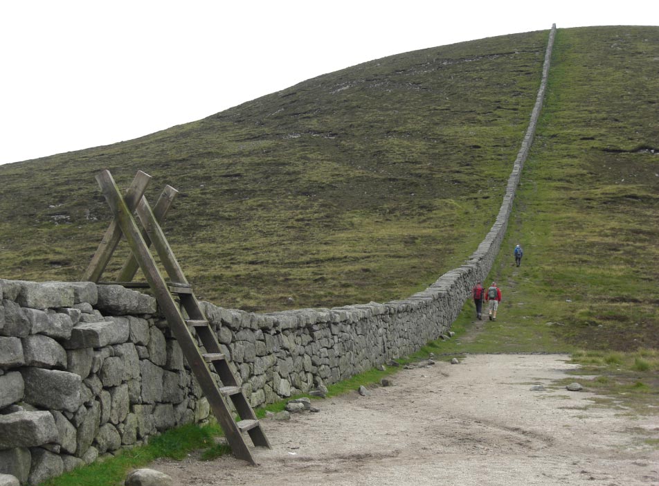
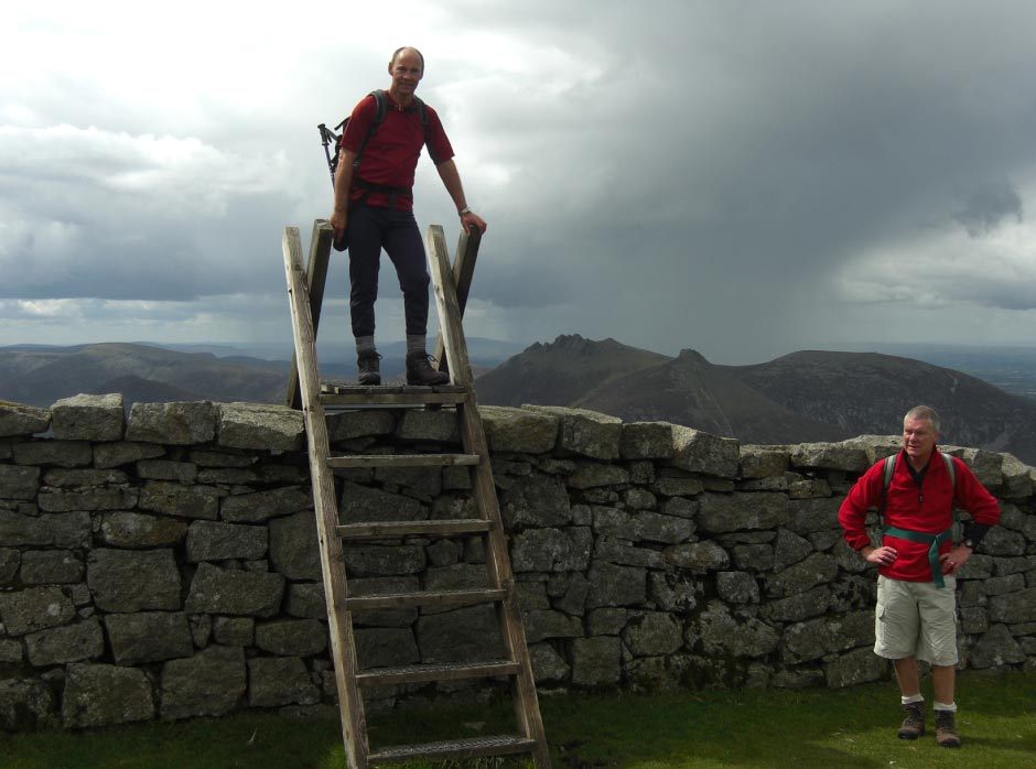
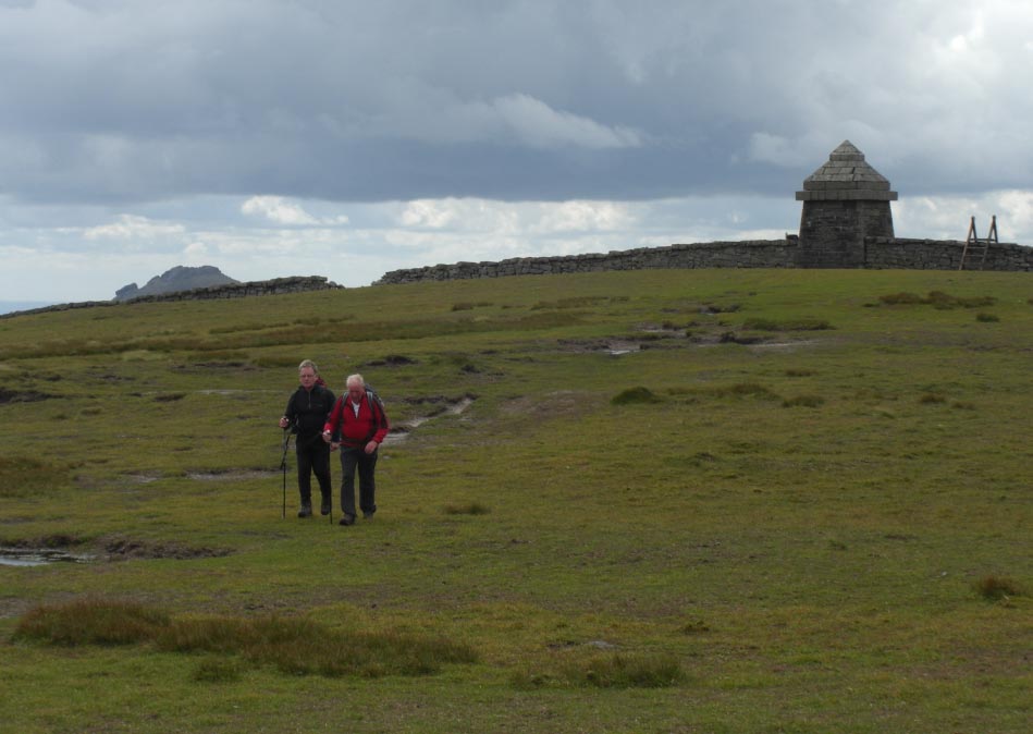
![]() Ladder Stile at The
Top of Slieve Commedagh
Ladder Stile at The
Top of Slieve Commedagh
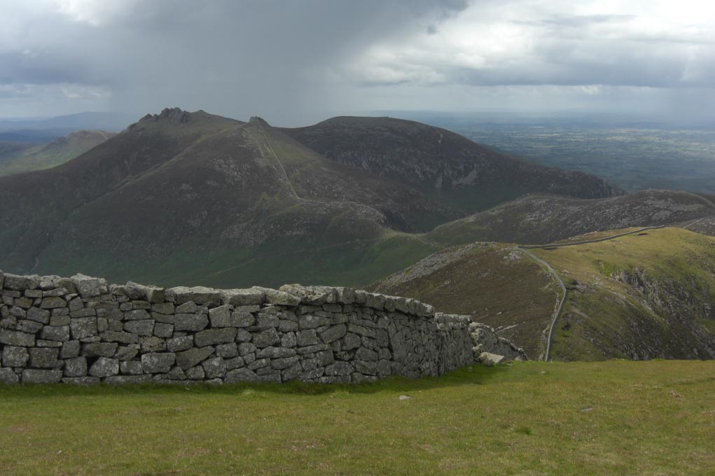
![]() You Can Clearly See
The Wall Going All The Way to Slieve Bearnagh
You Can Clearly See
The Wall Going All The Way to Slieve Bearnagh
![]() Leaving The Ladder
Stile Behind
Leaving The Ladder
Stile Behind
![]() Looking Towards Slieve Donard
From The Summit of Slieve Commedagh
Looking Towards Slieve Donard
From The Summit of Slieve Commedagh
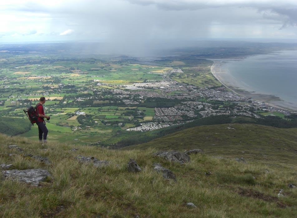
![]() Heading Down East
Towards Newcastle
Heading Down East
Towards Newcastle

![]() Looking Down
Towards Newcastle
Looking Down
Towards Newcastle
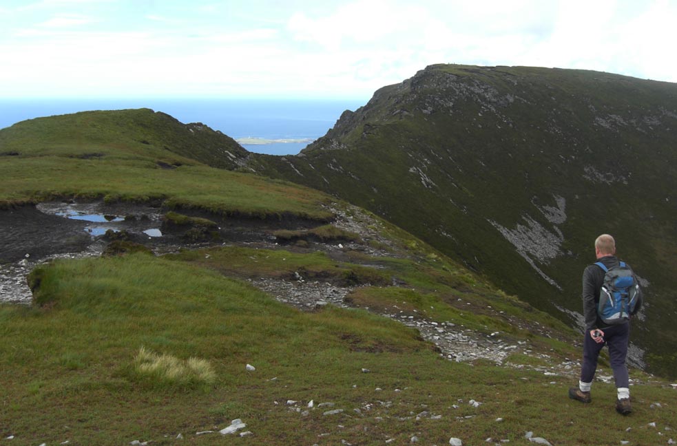
![]() Our Route to The
Col Clearly Seen
Our Route to The
Col Clearly Seen
![]() The Steep Decent
Back Down Towards The Path
The Steep Decent
Back Down Towards The Path
![]() Following The Edge
of Donard Wood
Following The Edge
of Donard Wood
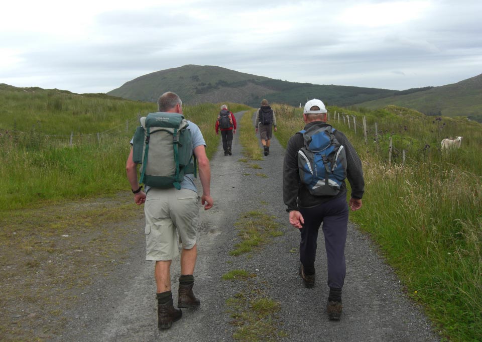
![]() Back on The Path
Back
Back on The Path
Back
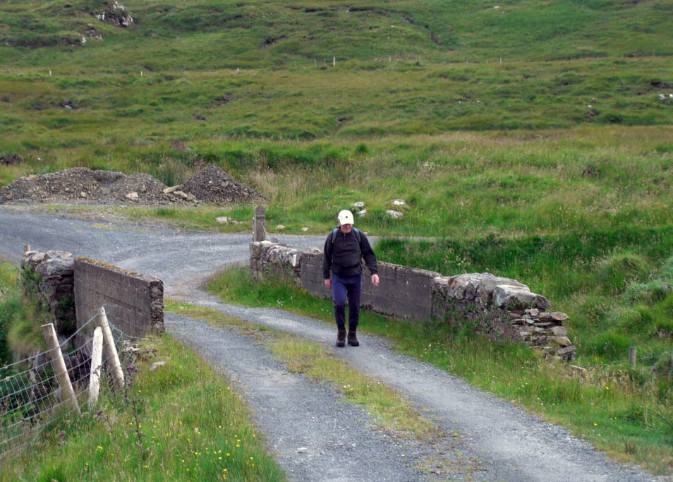
![]() Car Park and
Newcastle Not Far Now
Car Park and
Newcastle Not Far Now
![]() Tuesday
31st July 2012 Slieve Snaght, Inishowen Peninsula. County Donegal,
Eire.
Tuesday
31st July 2012 Slieve Snaght, Inishowen Peninsula. County Donegal,
Eire.
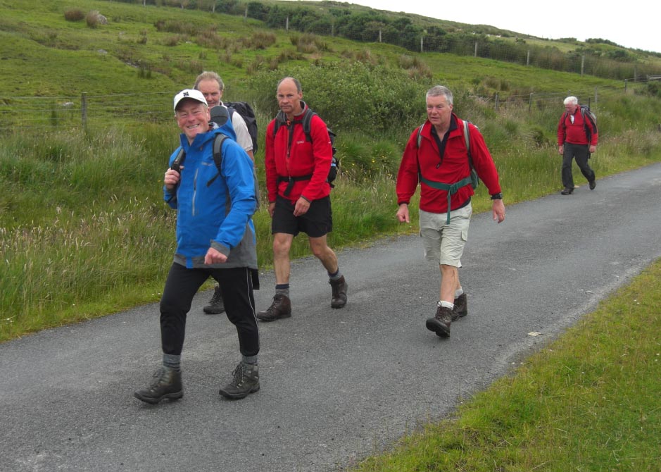
![]() Lets Get Booted up
Lets Get Booted up
![]() Leaving the Road
Leaving the Road
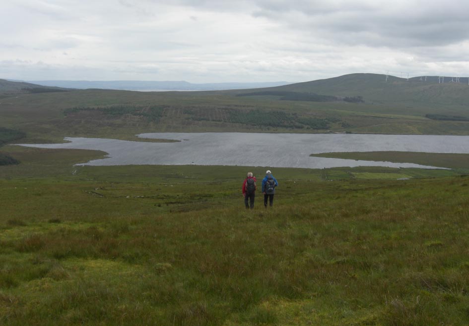
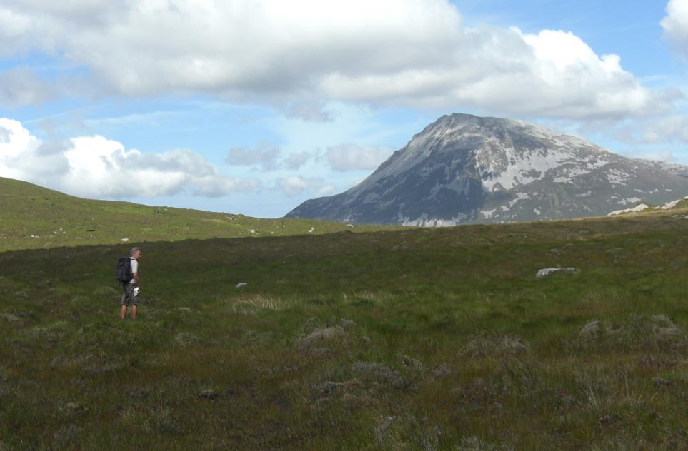
![]() Above Lake Turk
Above Lake Turk
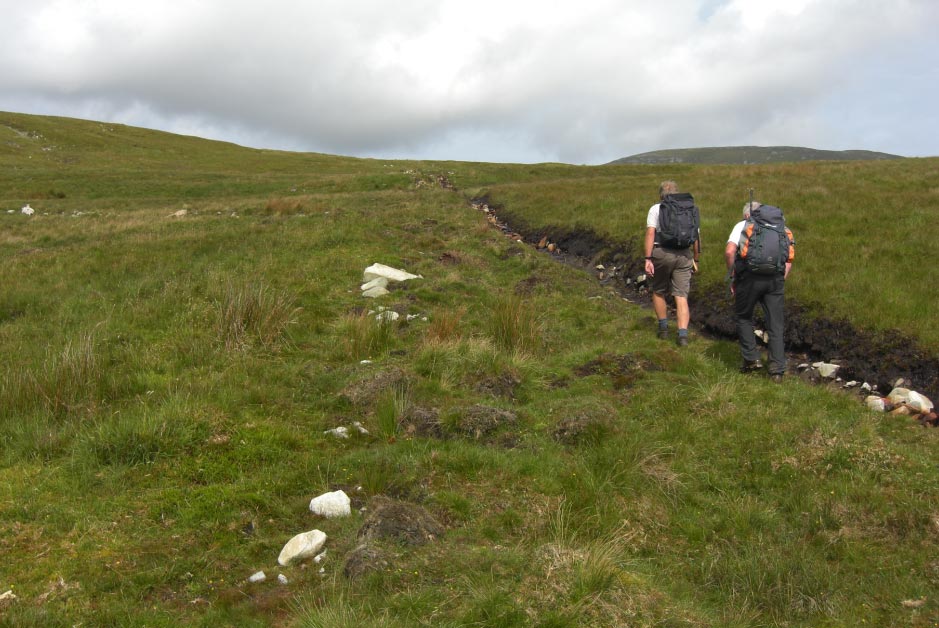
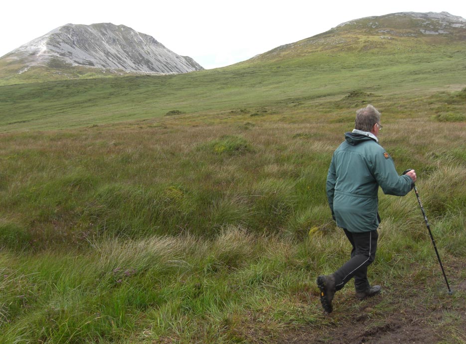
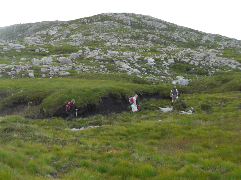
![]() Using a Trench Cut
in The Peat as Our Guide
Using a Trench Cut
in The Peat as Our Guide
![]() Who put That There
Who put That There
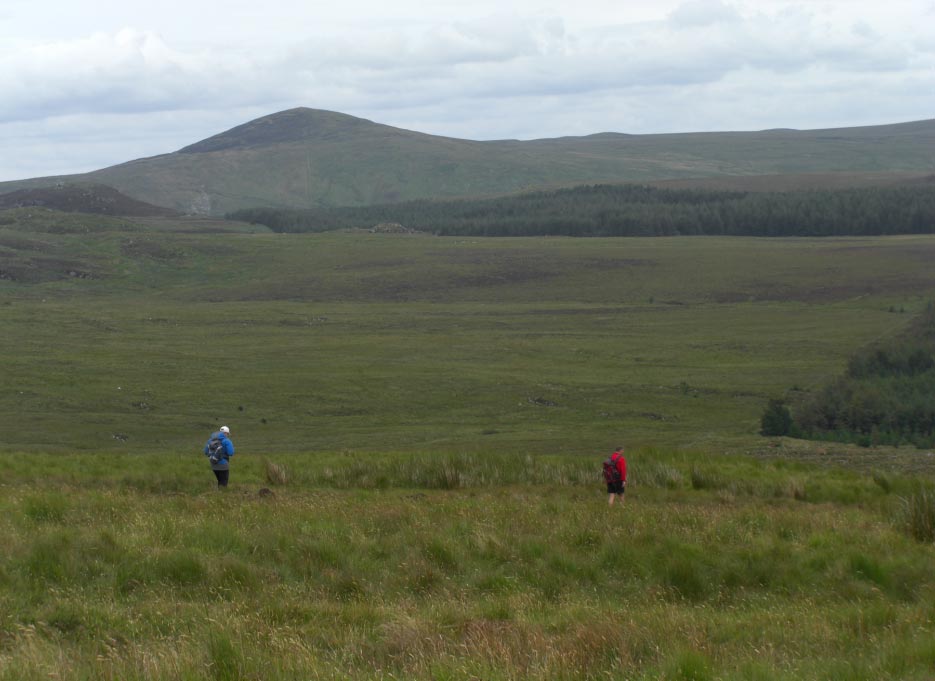
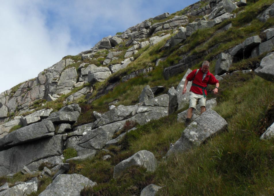
![]() Still Climbing
Still Climbing
![]() Now Following an
Old Fence
Now Following an
Old Fence
![]() Looks Like a Bit of
a Drop
Looks Like a Bit of
a Drop
![]() Dropping Down
Dropping Down
![]() Then Climbing up
Then Climbing up
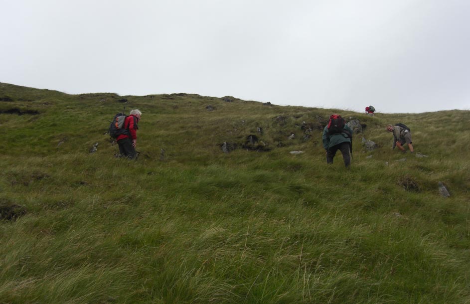
![]() Leaving The Peat
Hags for The Time Being
Leaving The Peat
Hags for The Time Being
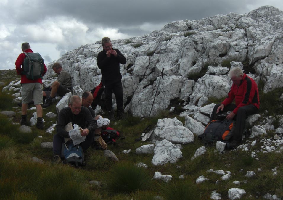
![]() A Bit of Lunch
A Bit of Lunch
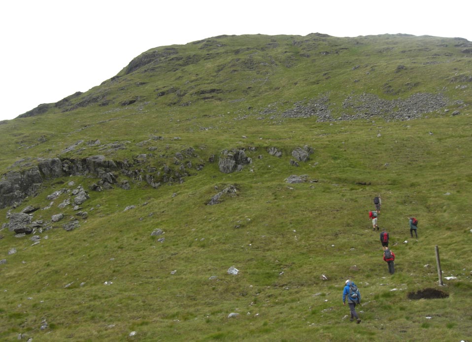
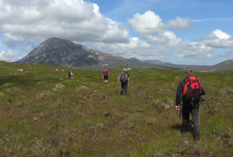
![]() Now we Can Start
to Climb Slieve Snaght
Now we Can Start
to Climb Slieve Snaght
![]() Now Far Now
Now Far Now
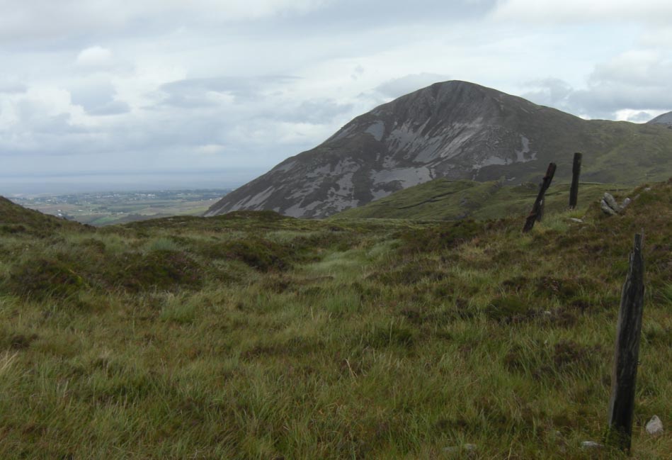
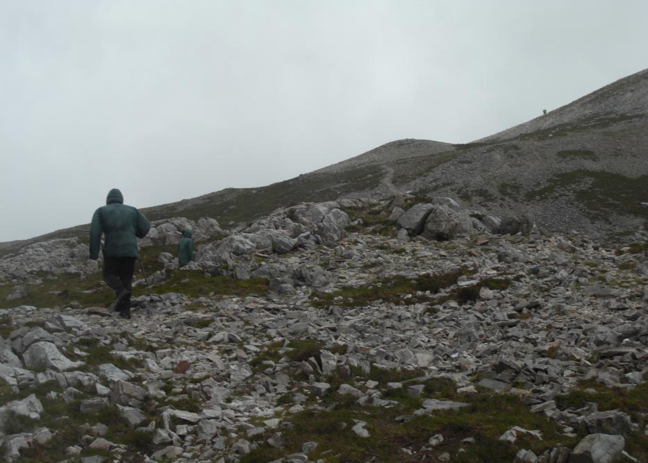
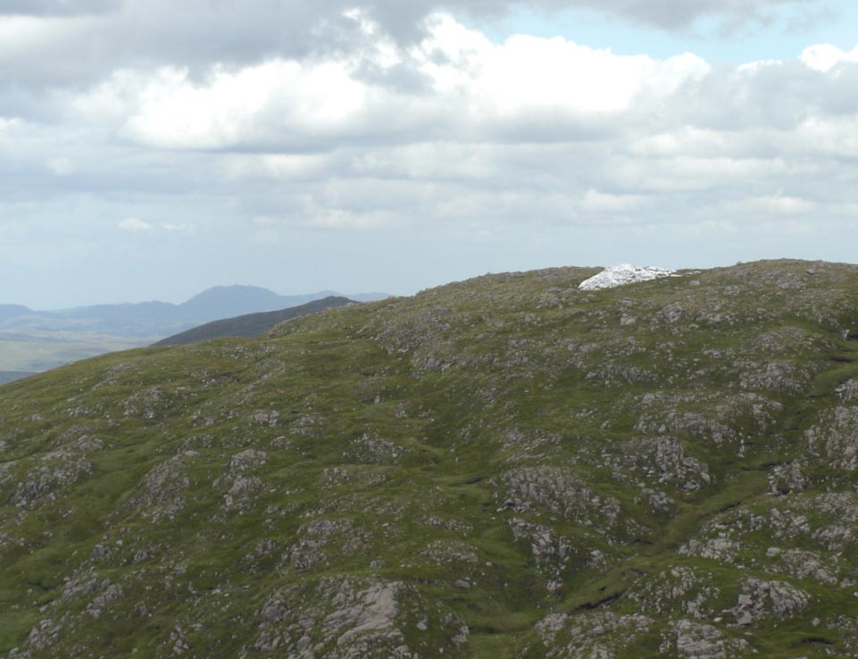
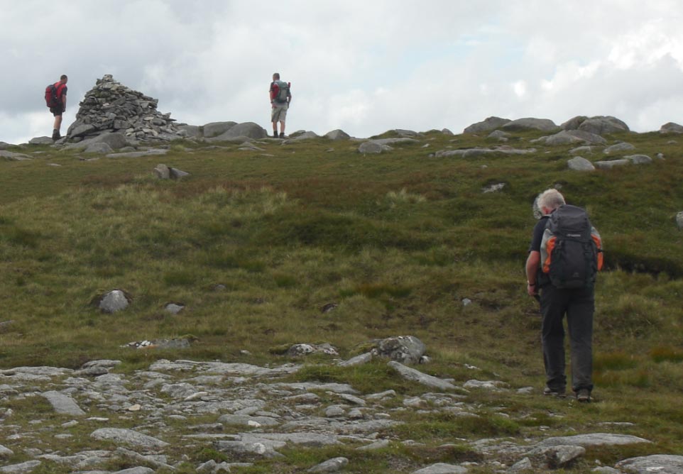
![]() The Top of Slieve
Snaght
The Top of Slieve
Snaght
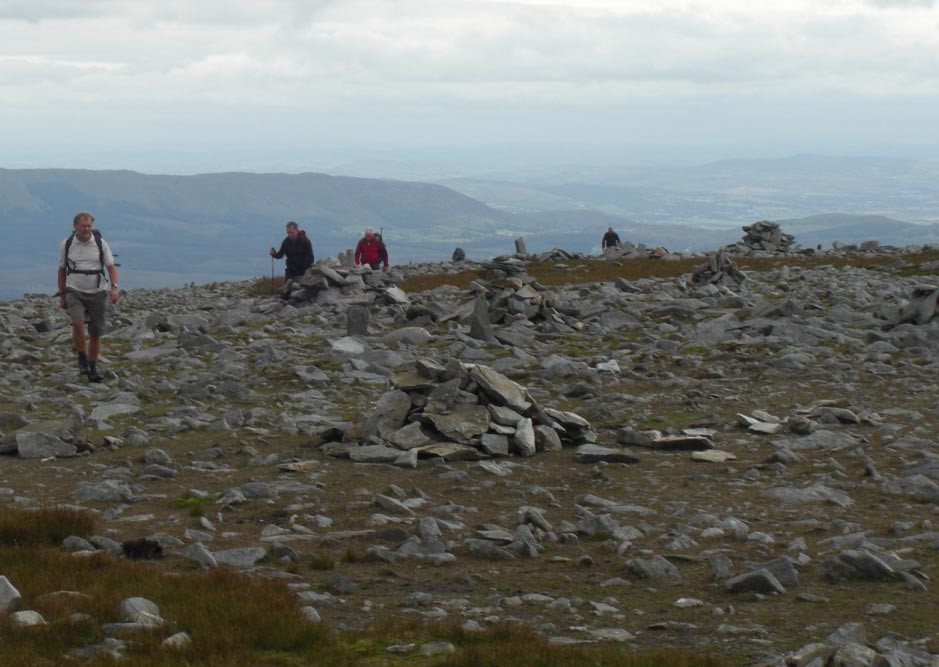
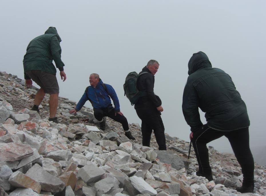
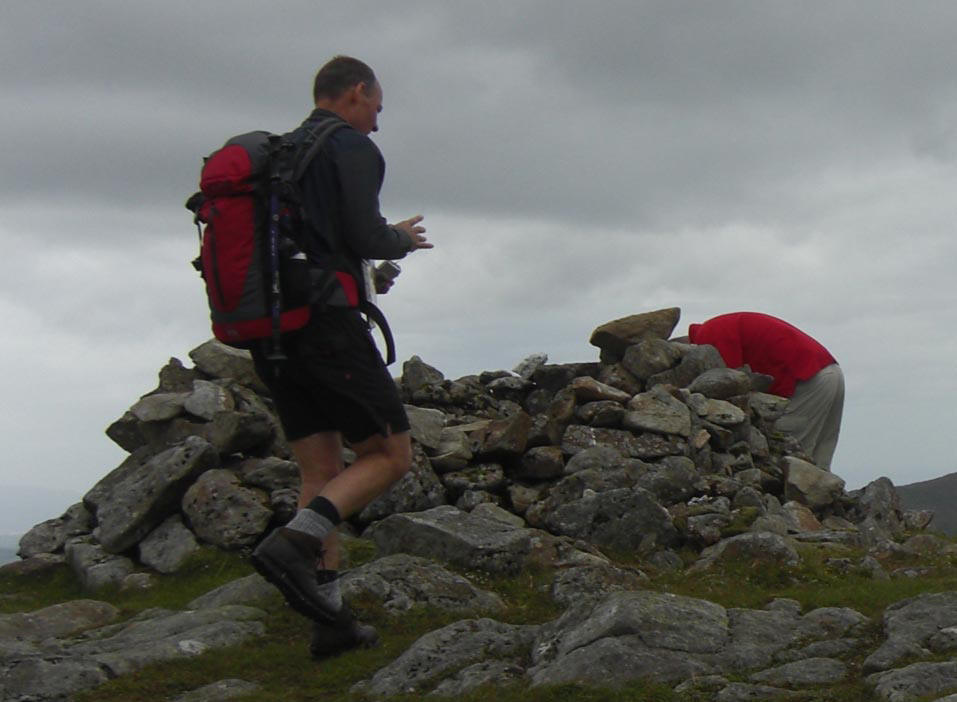
![]() The Shelter on The
Summit of Slieve Snaght
The Shelter on The
Summit of Slieve Snaght
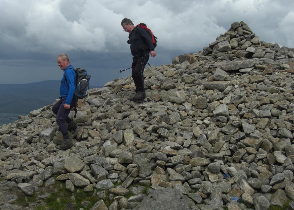
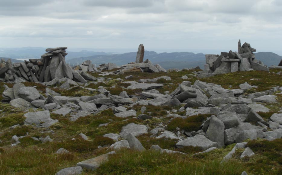
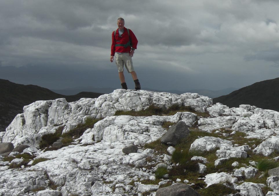
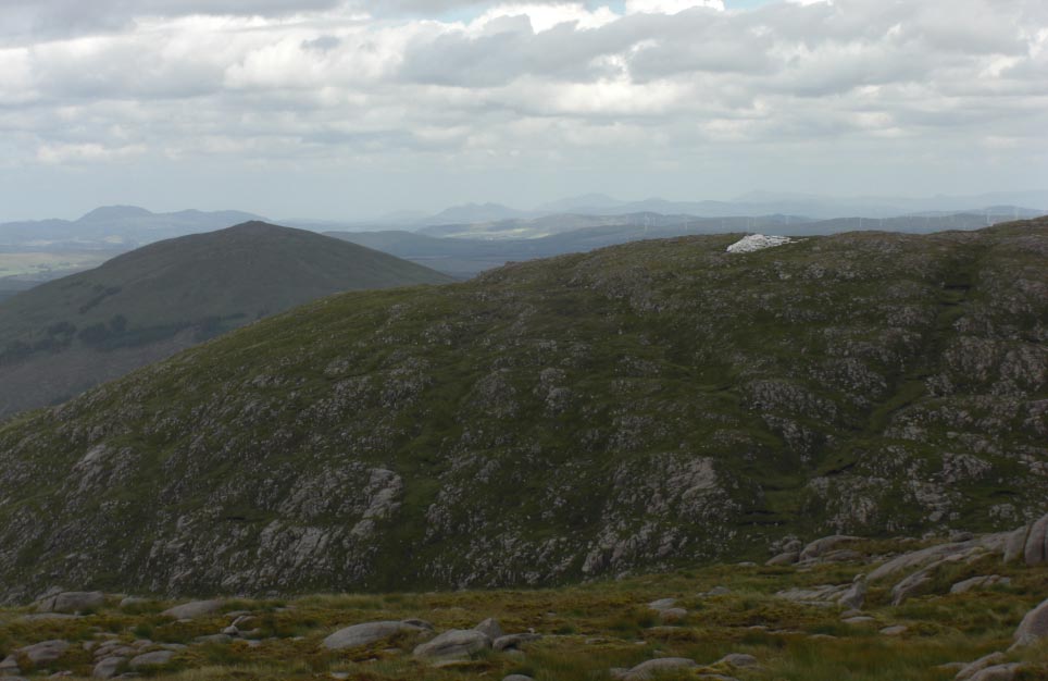
![]() The Piles of Stones
All Over The Top
The Piles of Stones
All Over The Top
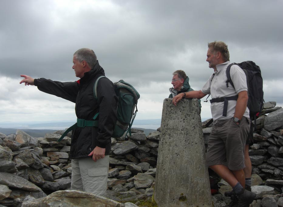
![]() In The Shelter on The
Summit of Slieve Snaght
In The Shelter on The
Summit of Slieve Snaght
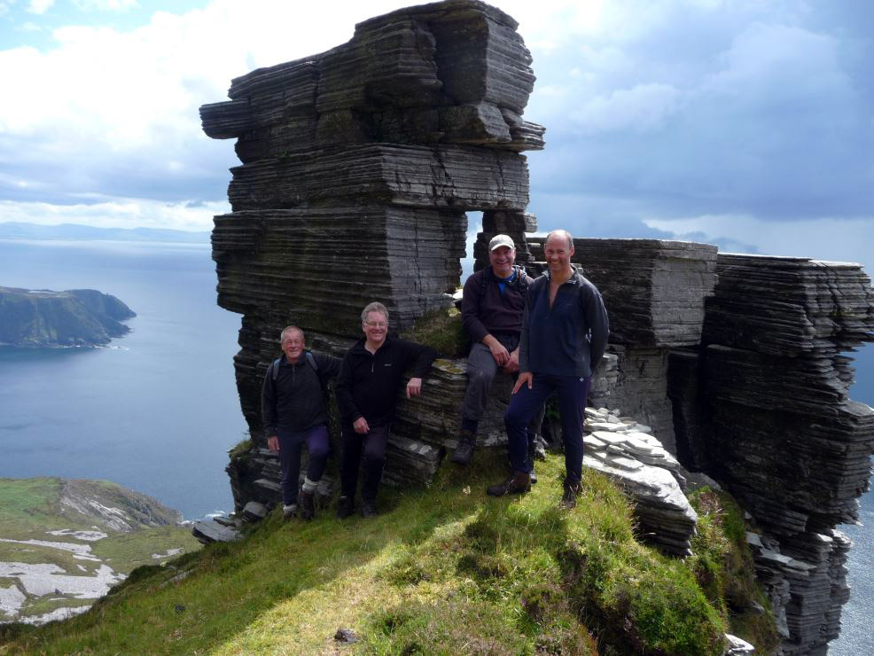
![]() The Architecture
on the Summit of Slieve Snaght (Natural or Manmade)
The Architecture
on the Summit of Slieve Snaght (Natural or Manmade)
![]() Leaving The Summit
of Slieve Snaght
Leaving The Summit
of Slieve Snaght
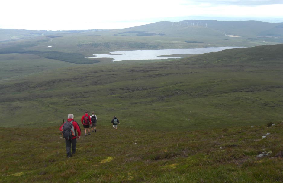
![]() Nearing Lake Turk
and The Road
Nearing Lake Turk
and The Road
![]() Nearly There Now
Nearly There Now
![]() Last Bit on The
Road
Last Bit on The
Road
![]() Wednesday 1st
August 2012 Muckish and Errigal, County Donegal,
Eire.
Wednesday 1st
August 2012 Muckish and Errigal, County Donegal,
Eire.
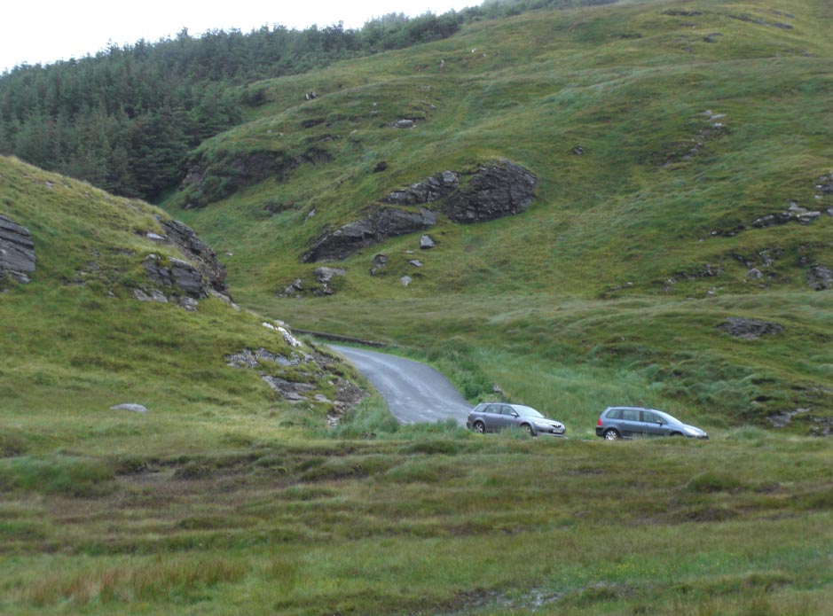
![]() Cars Parked Just
Passed The Highest Point on The Road
Cars Parked Just
Passed The Highest Point on The Road
![]() Leave The Rucksacks
Behind For a Quick Assault of Muckish
Leave The Rucksacks
Behind For a Quick Assault of Muckish

![]() The Cars Now Only
Specks
The Cars Now Only
Specks
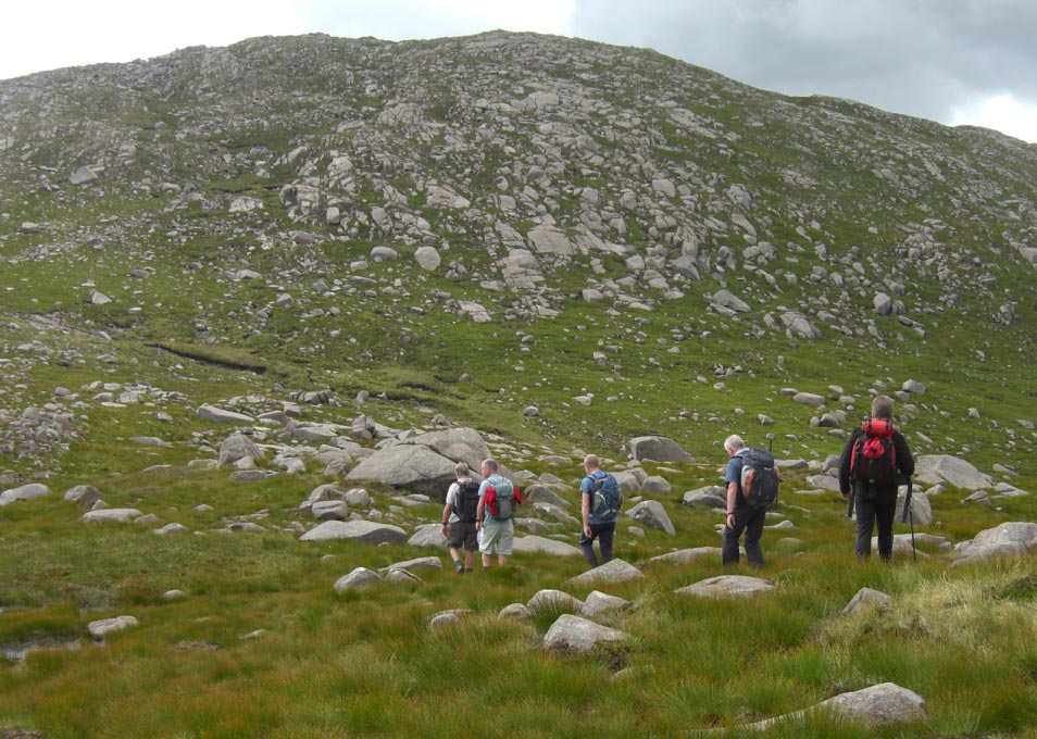
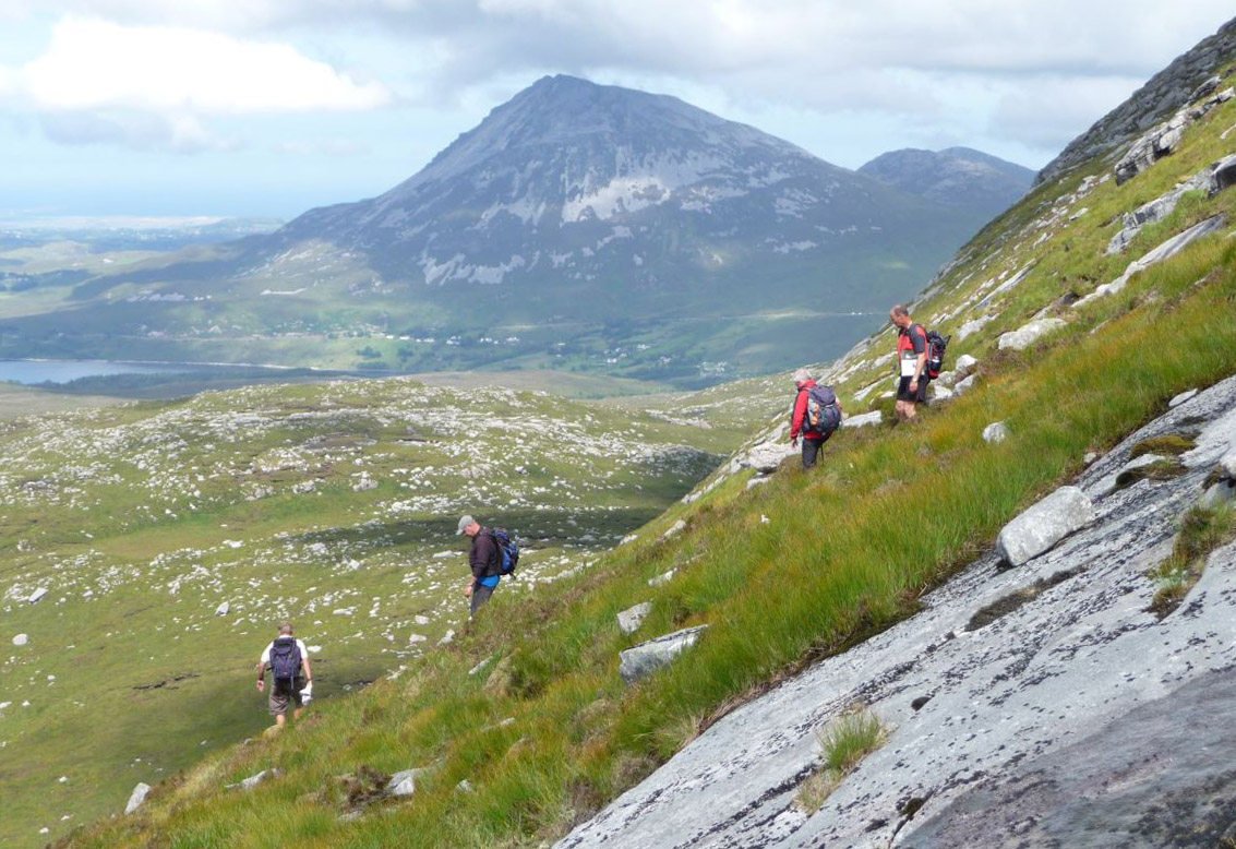
![]() The Higher we go
The Weather Gets Worse
The Higher we go
The Weather Gets Worse
![]() Now in Strong Wind
and Rain
Now in Strong Wind
and Rain
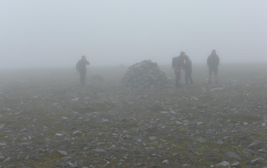
![]() All These Cairns
on The Summit Muckish
All These Cairns
on The Summit Muckish
![]() This Little Stone
Shelter is Not The True Summit
This Little Stone
Shelter is Not The True Summit
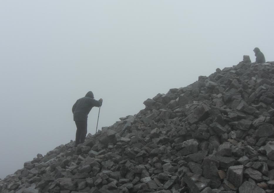
![]() The Massive Pile
of Stones That Mark The Summit of Muckish
The Massive Pile
of Stones That Mark The Summit of Muckish
![]() Out of The Wind
and Rain The Cars Come Into View
Out of The Wind
and Rain The Cars Come Into View
![]() Drive Around to
Below Errigal
Drive Around to
Below Errigal
![]() The Boggy Track to
The Base of Mackoght
The Boggy Track to
The Base of Mackoght
![]() Errigal and
Mackoght From The South
Errigal and
Mackoght From The South
![]() First View of
Aghia More From Near The Top of Mackoght
First View of
Aghia More From Near The Top of Mackoght
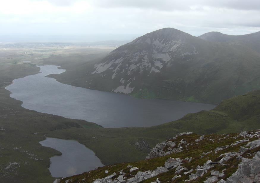
![]() Aghia More and
Altan Lough From The Summit of Mackoght
Aghia More and
Altan Lough From The Summit of Mackoght
![]() Errigal From
The Summit of Mackoght
Errigal From
The Summit of Mackoght
![]() Leaving Mackoght
Behind
Leaving Mackoght
Behind
![]() Errigal Dead
Ahead
Errigal Dead
Ahead
![]() Heading Towards
The Very Windy Southern Ridge of Errigal
Heading Towards
The Very Windy Southern Ridge of Errigal
![]() As we Near The
Ridge The Wind is Increasing in Strength
As we Near The
Ridge The Wind is Increasing in Strength
![]() Cannot Hardly
Stand up in The Very Strong Wind Whipping up Around The Southern Ridge
Cannot Hardly
Stand up in The Very Strong Wind Whipping up Around The Southern Ridge
![]() Thursday
2nd
August 2012 Blue Stack Mountains, County Donegal,
Eire.
Thursday
2nd
August 2012 Blue Stack Mountains, County Donegal,
Eire.
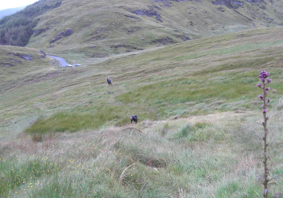
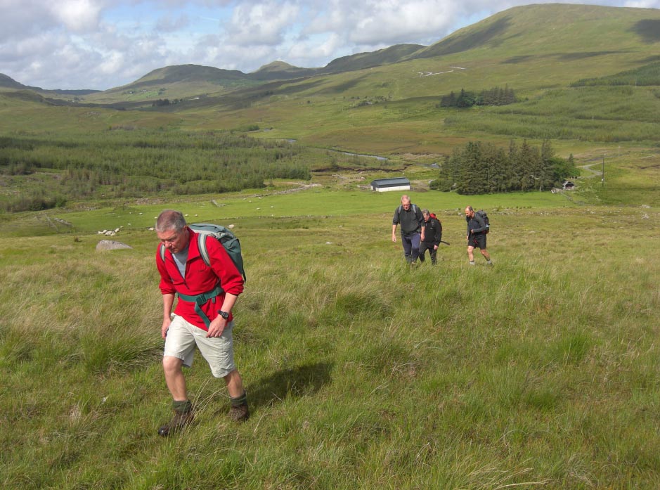
![]() At Last Arriving
at the Starting Point of Our Walk
At Last Arriving
at the Starting Point of Our Walk
![]() Leaving The
Farmstead Behind in Glorious Sunshine
Leaving The
Farmstead Behind in Glorious Sunshine
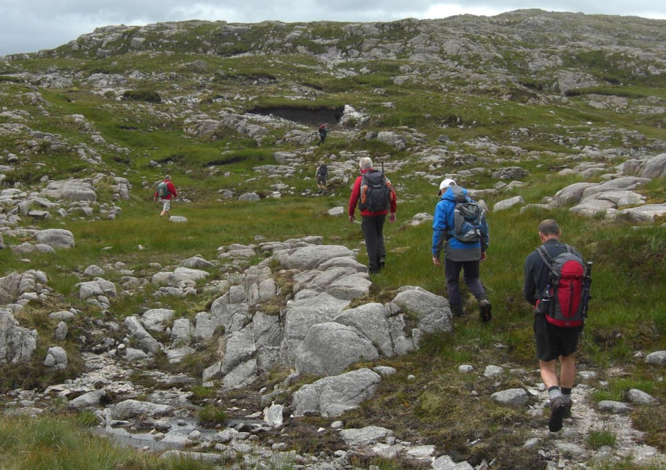
![]() Picking Our Way
Through the Peat Hags
Picking Our Way
Through the Peat Hags
![]() Looking Back Down The
Valley
Looking Back Down The
Valley
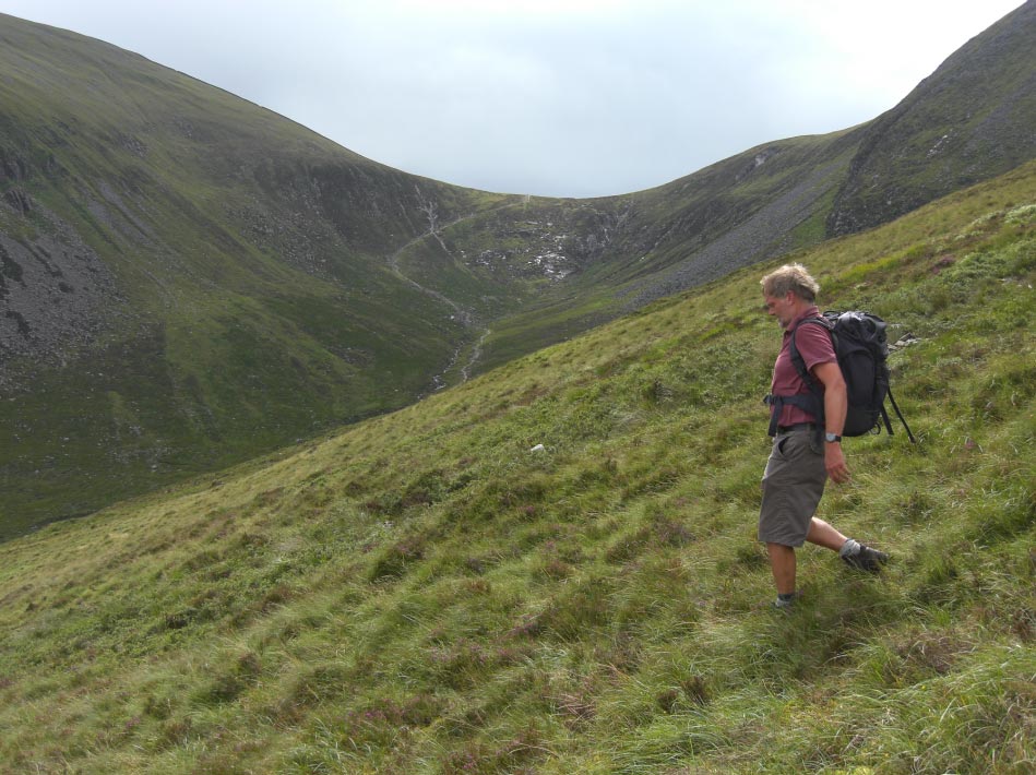
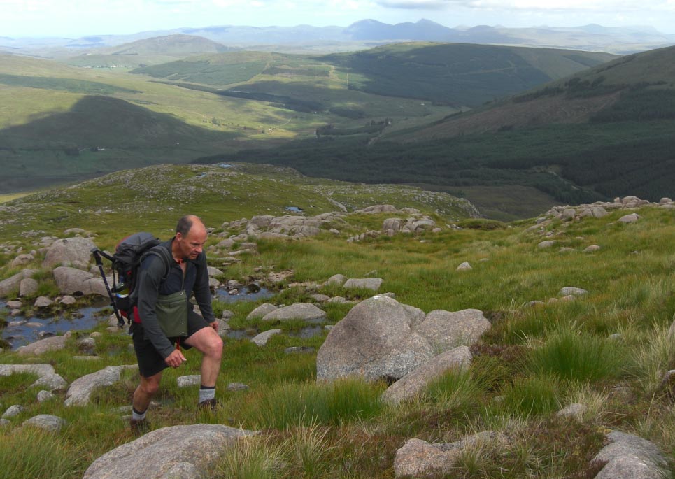
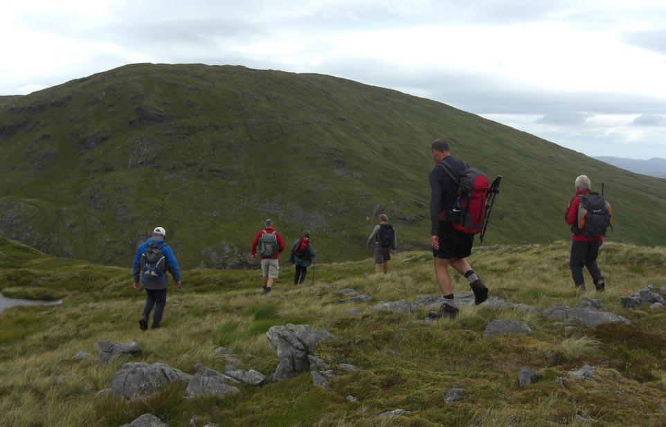
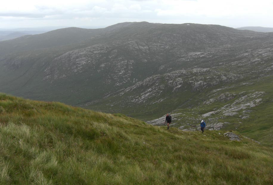
![]() Still Going up
Still Going up
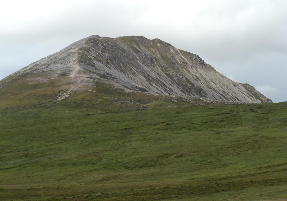
![]() The Start of The
Ridge for The Blue Stack Mountains
The Start of The
Ridge for The Blue Stack Mountains
![]() High on The Ridge
Now
High on The Ridge
Now
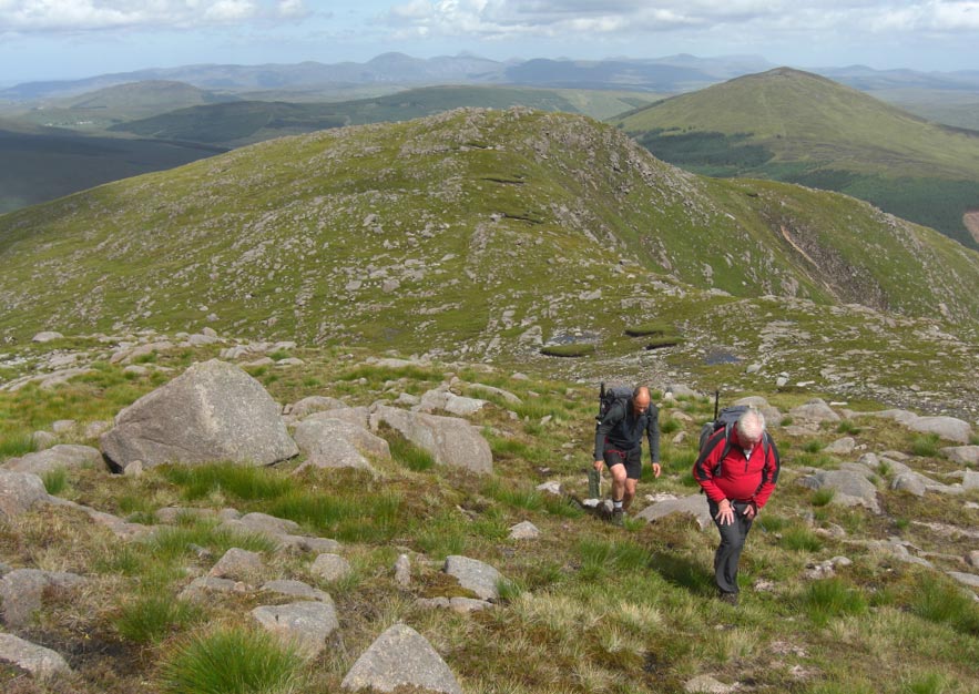
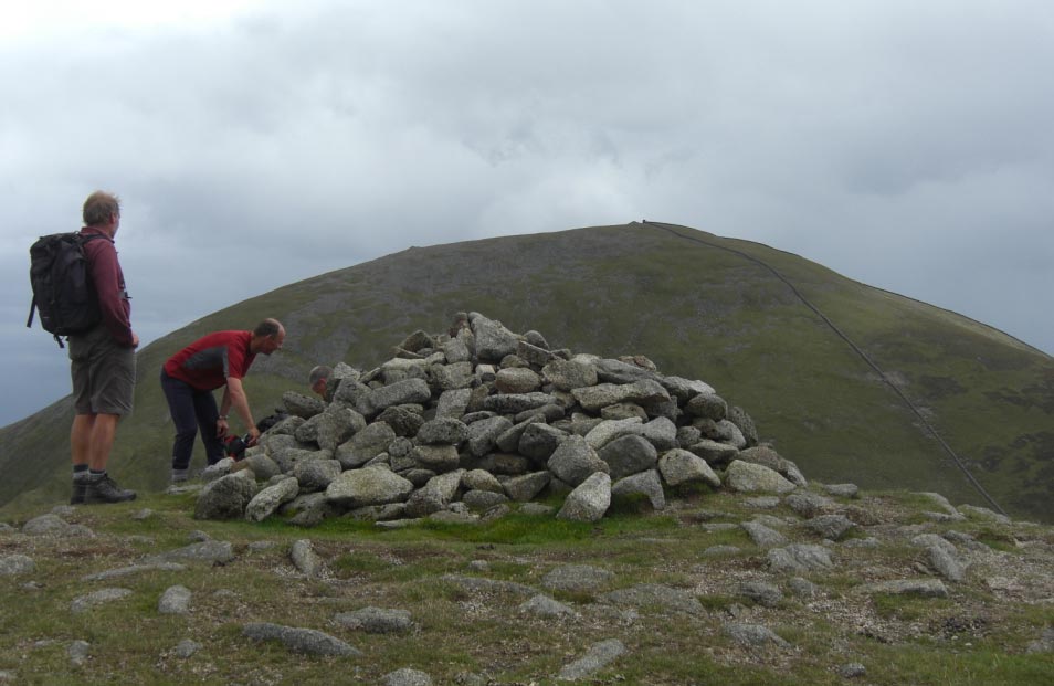
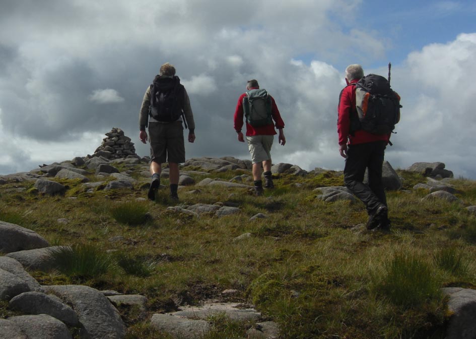
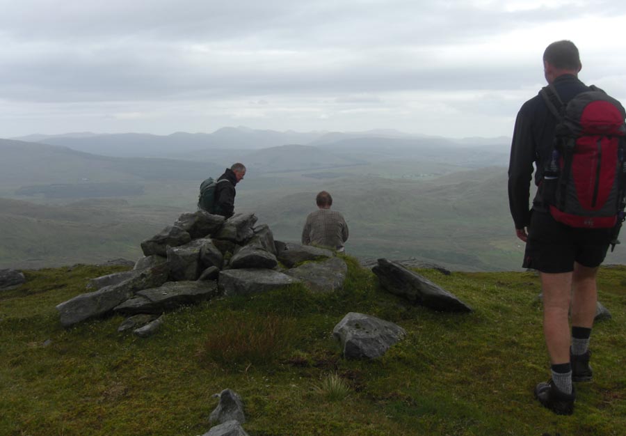
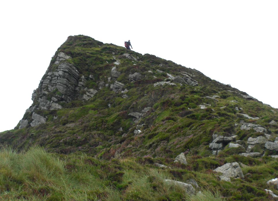
![]() Our First Summit
Our First Summit
![]() A Huge
Precariously Placed Van Sized Boulder Just Waiting to Fall on us
A Huge
Precariously Placed Van Sized Boulder Just Waiting to Fall on us
![]() Leaving the
Boulder Behind
Leaving the
Boulder Behind
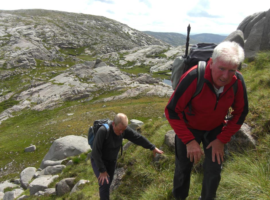
![]() Starting to Climb
Again
Starting to Climb
Again
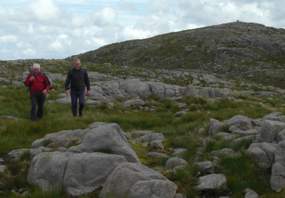
![]() Keep Going
Keep Going
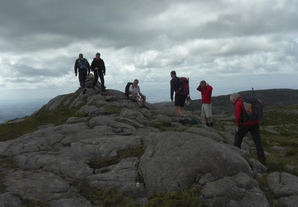
![]() Another Summit our
Second of the Day
Another Summit our
Second of the Day
![]() Leaving The Summit
Behind
Leaving The Summit
Behind
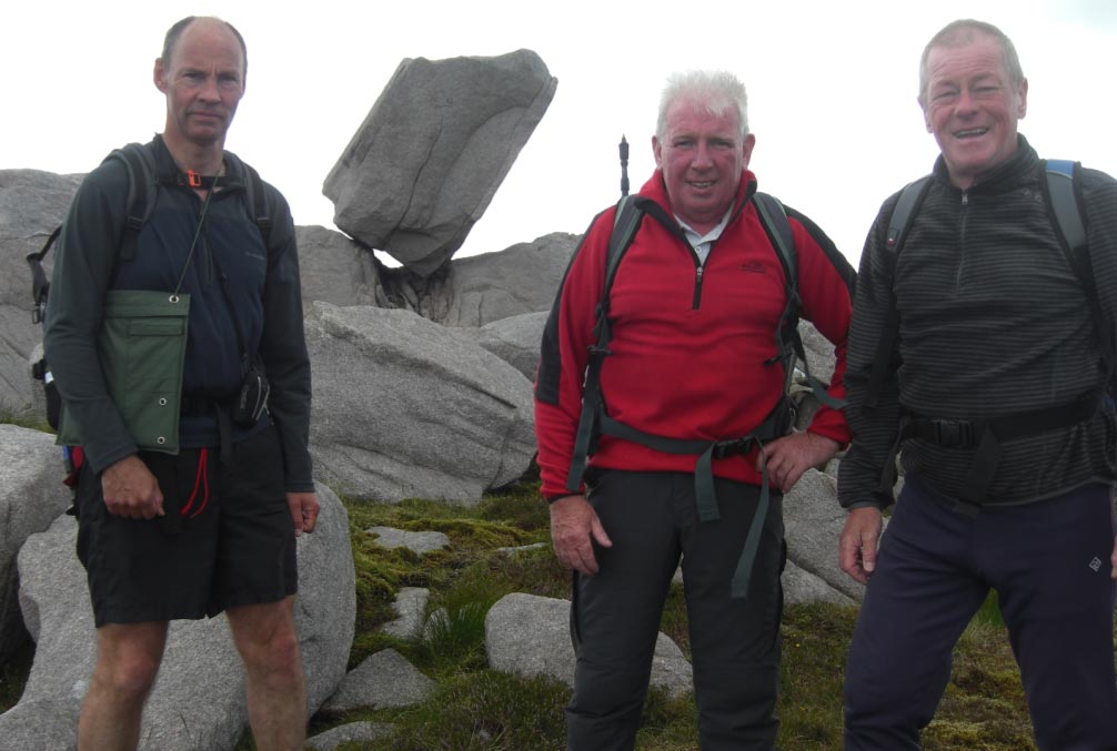
![]() Standing on Top of
a Quartzite Outcrop
Standing on Top of
a Quartzite Outcrop
![]() As Good as any
Place to Stop for Lunch
As Good as any
Place to Stop for Lunch
![]() Leaving the
Quartzite Outcrop
Leaving the
Quartzite Outcrop
![]() Carrying on to the
Next Summit
Carrying on to the
Next Summit
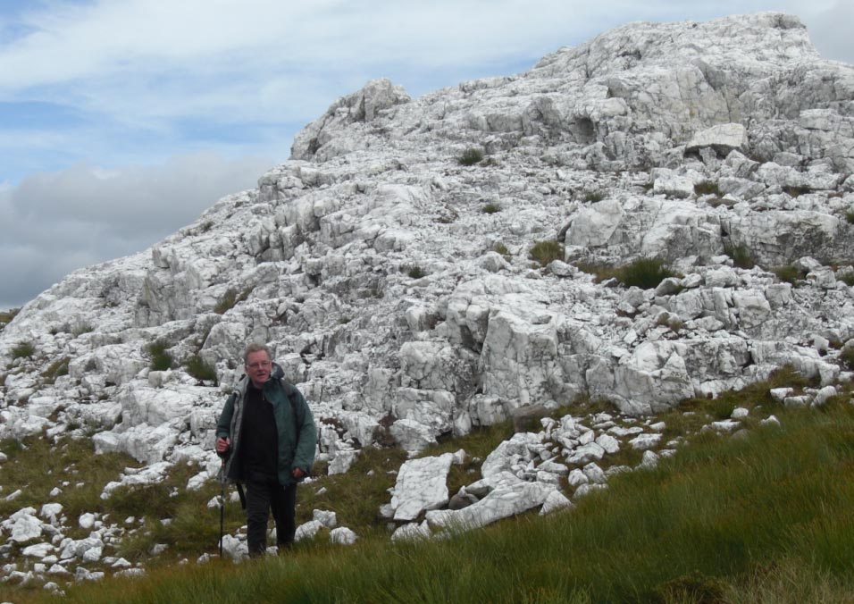
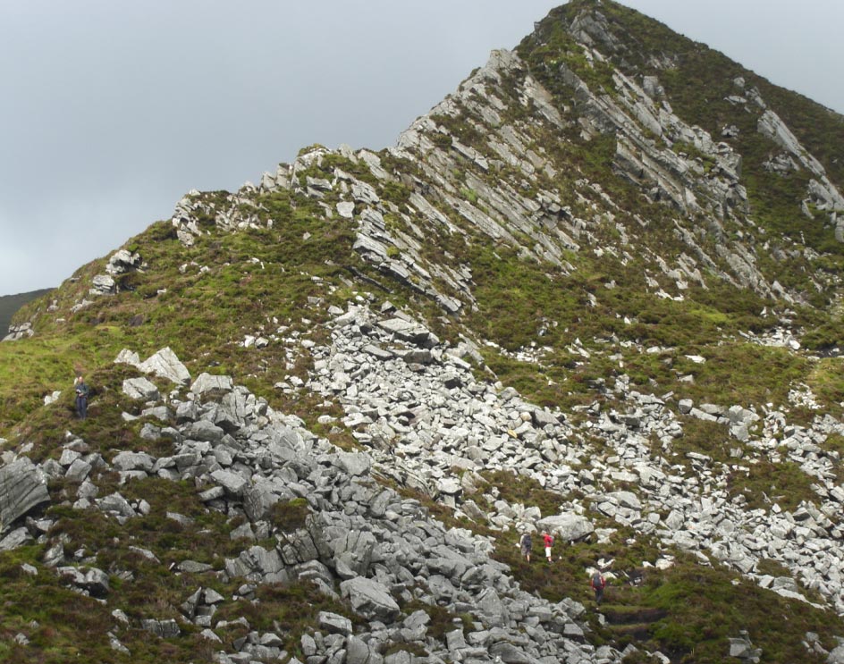
![]() The Quartzite
Outcrop Standing Out Against the Surrounding Rocks
The Quartzite
Outcrop Standing Out Against the Surrounding Rocks
![]() Standing Out Even
More The Further Away You Get (Very Usual)
Standing Out Even
More The Further Away You Get (Very Usual)
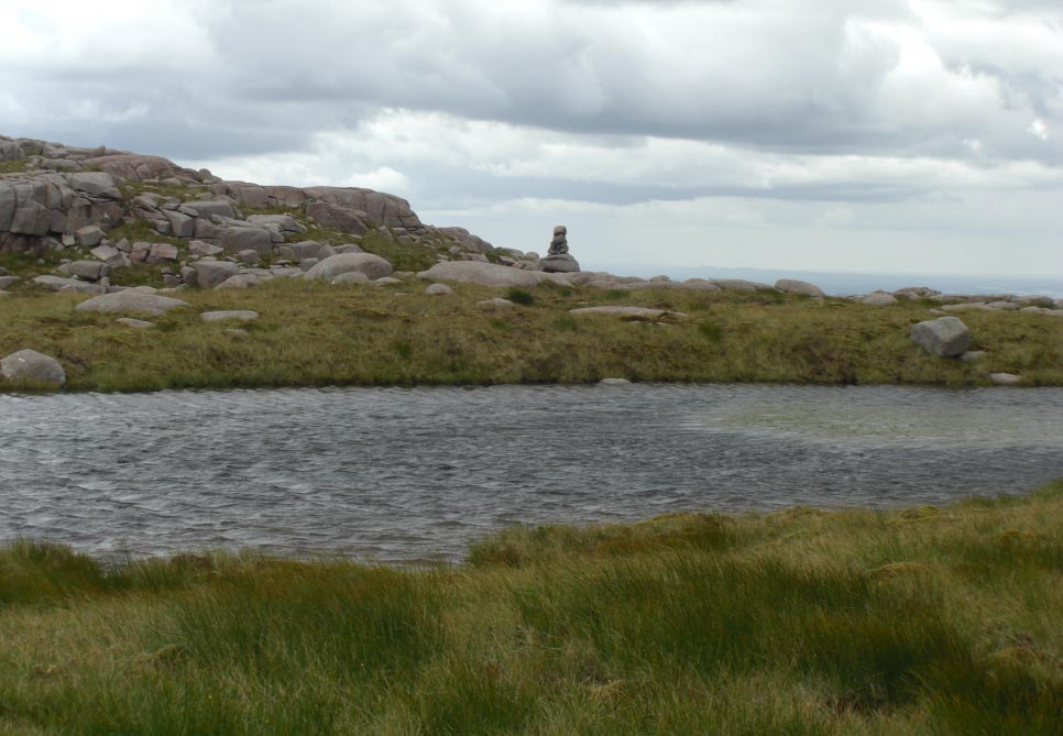
![]() A Pile of Stones
Marking Our Route
A Pile of Stones
Marking Our Route
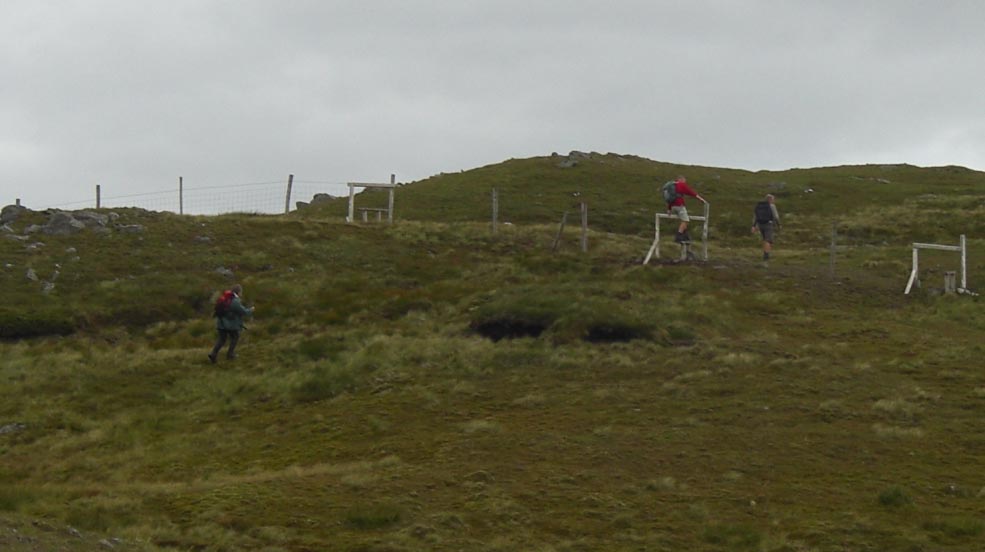
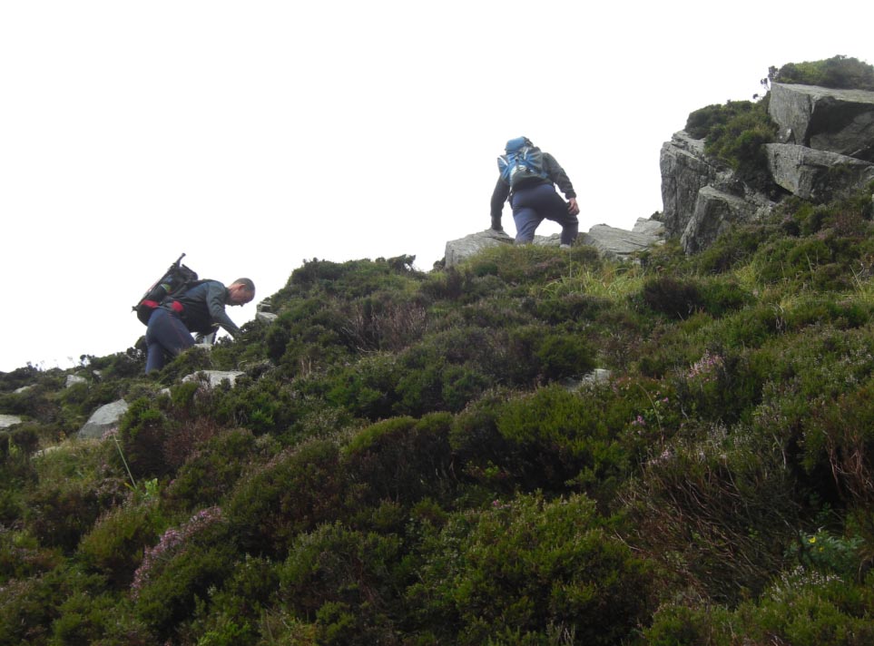
![]() Pick a Style
Pick a Style
![]() The Concept of
Hide 'n' Seek is Lost on Some People
The Concept of
Hide 'n' Seek is Lost on Some People
![]() Yes It's Still
Visible
Yes It's Still
Visible
![]() The Quartzite
Outcrop Looking Like it's Been Dumped From The Back of a Lorry
The Quartzite
Outcrop Looking Like it's Been Dumped From The Back of a Lorry
![]() Dropping Off to
the Next Top
Dropping Off to
the Next Top
![]() Staring to Climb
Again
Staring to Climb
Again
![]() Still Going up
Still Going up
![]() Nearly There and
The Quartzite Outcrop is Still Just Visible
Nearly There and
The Quartzite Outcrop is Still Just Visible
![]() The Last Summit of
the Day
The Last Summit of
the Day
![]() Leaving The Summit
Behind and Dropping Back Down to The Valley
Leaving The Summit
Behind and Dropping Back Down to The Valley
![]() Crossing The
Bridge to The Lane on the Valley Floor
Crossing The
Bridge to The Lane on the Valley Floor
![]() The Last Leg Back
Towards The Car
The Last Leg Back
Towards The Car
![]() Friday
3rd
August 2012 Slieve League, County Donegal,
Eire.
Friday
3rd
August 2012 Slieve League, County Donegal,
Eire.
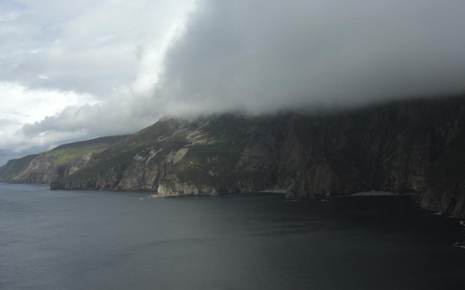
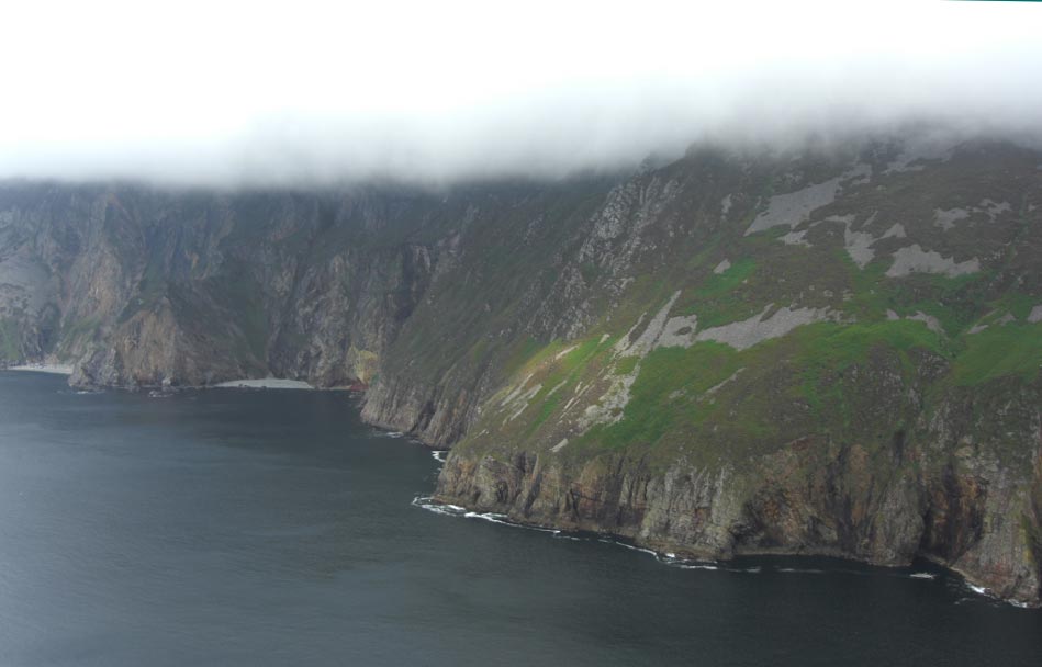
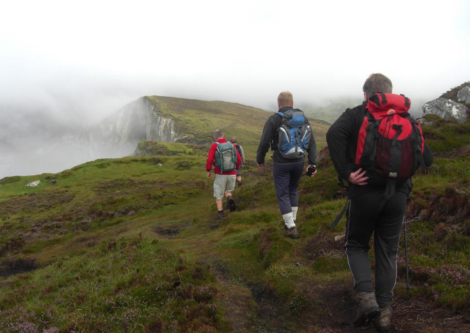
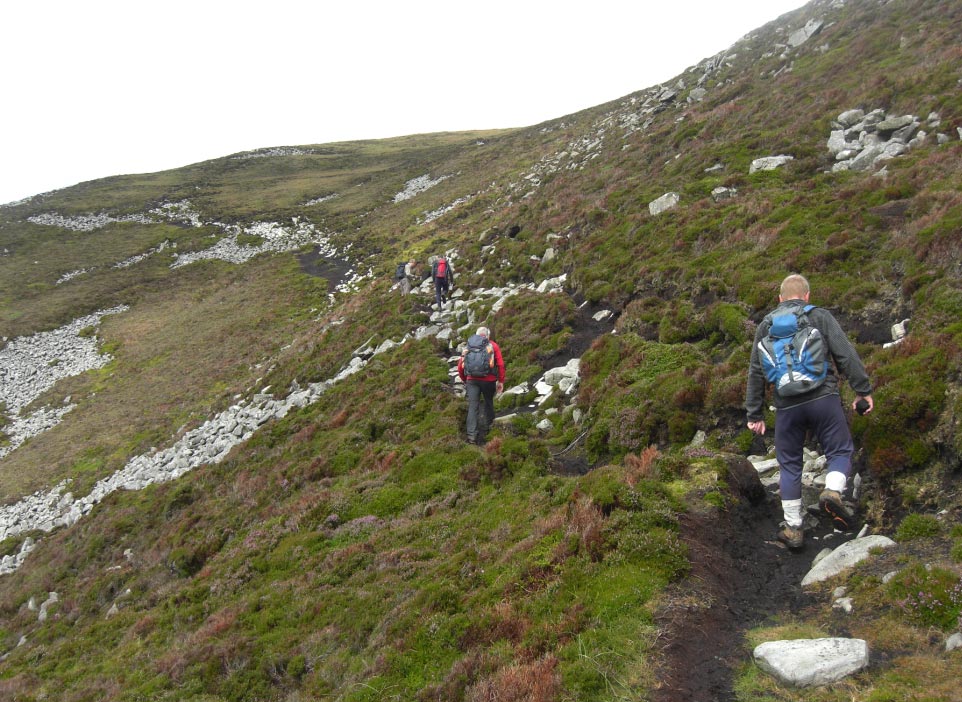
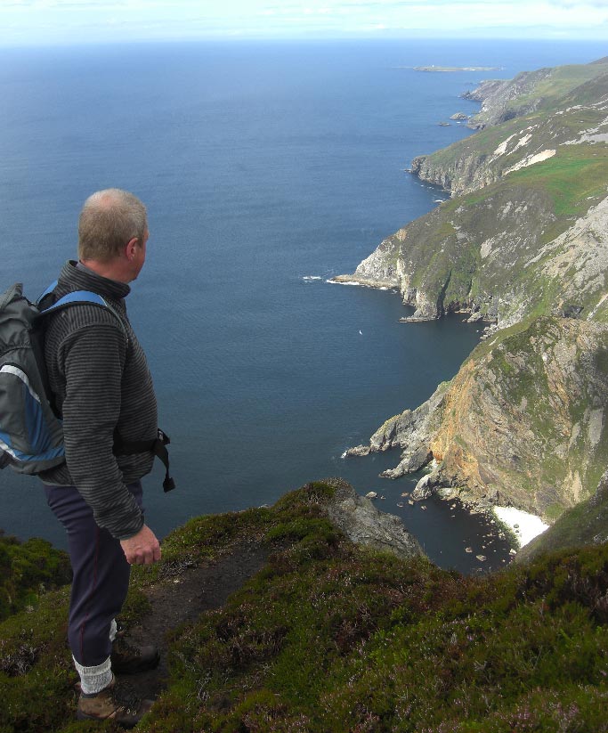
![]() We Travel All
Morning in Driving Rain and The View of The Slieve League Cliffs is not
Looking Good
We Travel All
Morning in Driving Rain and The View of The Slieve League Cliffs is not
Looking Good
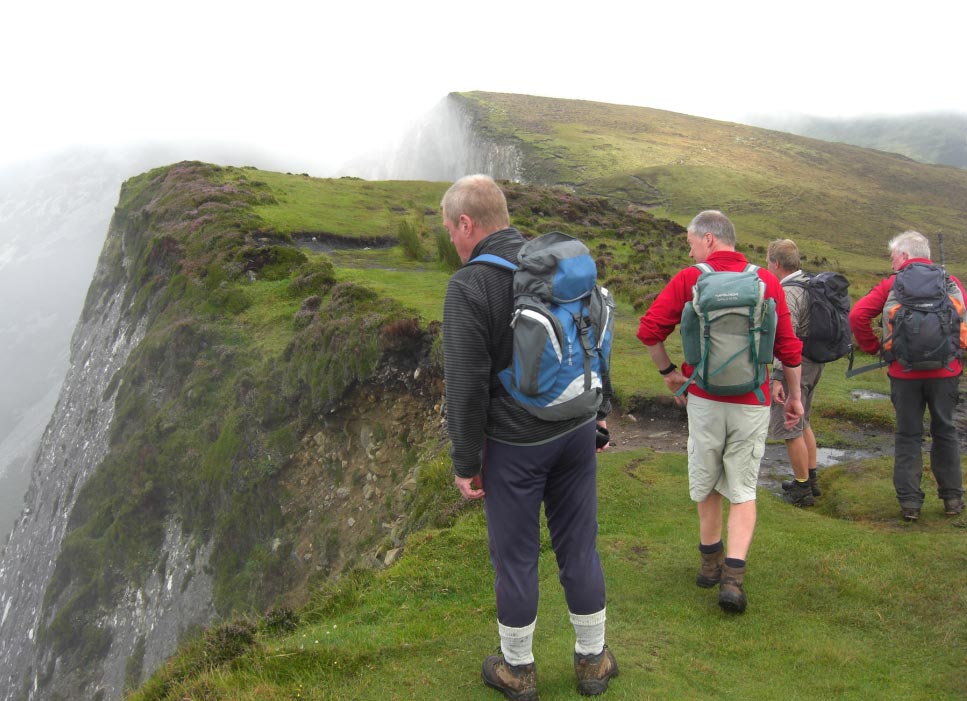
![]() As we Set off From
The Bunglas Car Park The Clouds Change From Dark Gray to Light Gray
As we Set off From
The Bunglas Car Park The Clouds Change From Dark Gray to Light Gray
![]() Now There's a
Novelty, a Hand Rail
Now There's a
Novelty, a Hand Rail
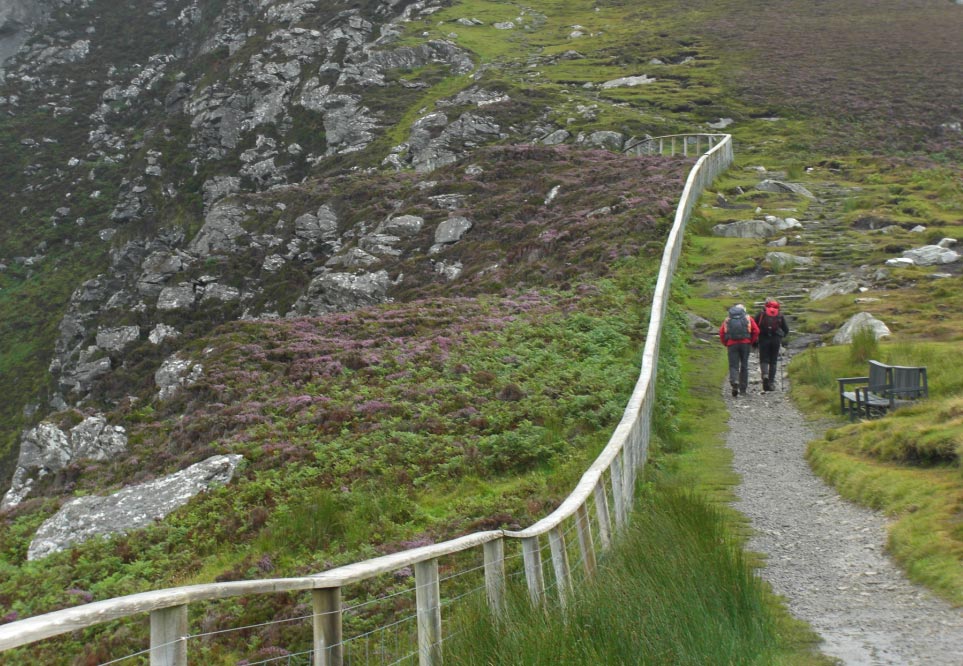
![]() Steps Lead us
Above The Car Park
Steps Lead us
Above The Car Park
![]() Are The Clouds
Beginning to Lift
Are The Clouds
Beginning to Lift
![]() The Steps Are
Replaced With a Muddy Path
The Steps Are
Replaced With a Muddy Path
![]() Then no Path at
All
Then no Path at
All
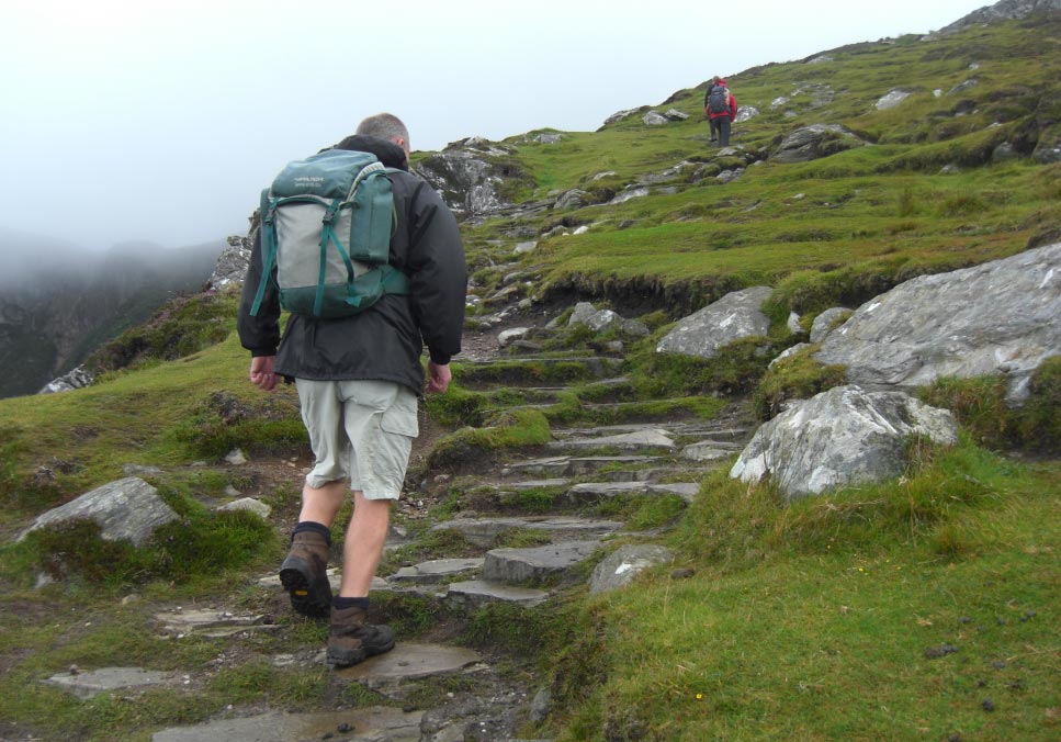
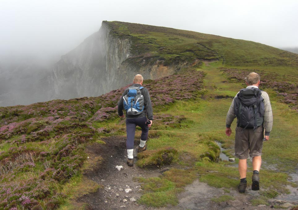
![]() Higher we go
Higher we go
![]() Nearing the Ridge
at the Start of The Cliffs
Nearing the Ridge
at the Start of The Cliffs
![]() The Clouds Start
to Break up
The Clouds Start
to Break up
![]() I Can Nearly See
the Bottom
I Can Nearly See
the Bottom
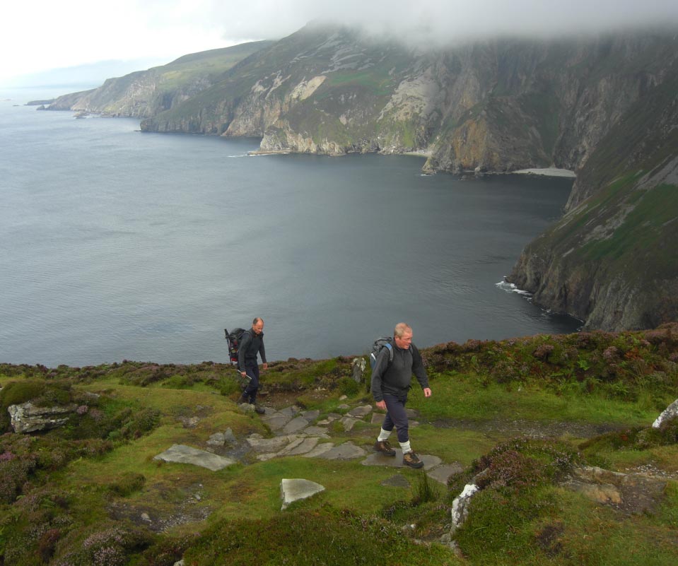
![]() The Day is Getting
Better all the Time
The Day is Getting
Better all the Time
![]() Come on Keep up
Come on Keep up
![]() Is The Bottom is
Now Visible
Is The Bottom is
Now Visible
![]() Now That Better
Now That Better
![]() The Clouds Have
Lifted All Over Now
The Clouds Have
Lifted All Over Now
![]() A Bit of Sun Shine
A Bit of Sun Shine
![]() Still Higher we go
Still Higher we go
![]() Lets go Over That
Peak
Lets go Over That
Peak
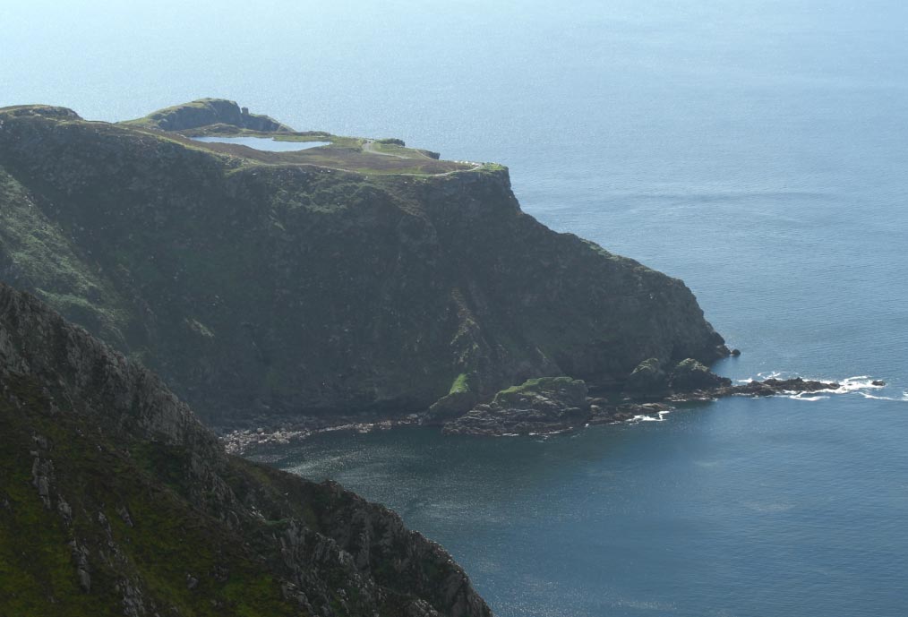
![]() Looking Down Along
The Cliffs Towards The Lighthouse on Rathlin O' Birne Island
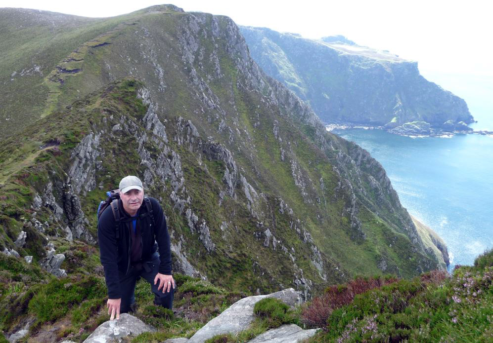
Looking Down Along
The Cliffs Towards The Lighthouse on Rathlin O' Birne Island
![]() Up Ahead The
Pilgrims Route Coming up From the Valley Floor
Up Ahead The
Pilgrims Route Coming up From the Valley Floor
![]() At The Foot of Our
First Peak
At The Foot of Our
First Peak
![]() Climbing Again
Climbing Again
![]() Up and Over This
Lump
Up and Over This
Lump
![]() Looking Back at the Car
Park
Looking Back at the Car
Park
![]() Heading Towards
that
Pointy Bit of Cliff
Heading Towards
that
Pointy Bit of Cliff
![]() The Last Bit
on The Pointy Bit
The Last Bit
on The Pointy Bit
![]() Bunglas Car
Park Again
Bunglas Car
Park Again
![]() Below us The
Inland Pilgrims Route
Below us The
Inland Pilgrims Route
![]() Some more Cliffs
Ahead
Some more Cliffs
Ahead
![]() Come on Lets Get to
The Top of That One
Come on Lets Get to
The Top of That One
![]() Nearly There
Nearly There
![]() Keep Going
Keep Going
![]() Come on Keep up
Come on Keep up
![]() Lets Have a
Breather
Lets Have a
Breather
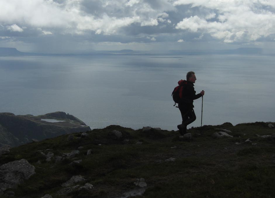
![]() High Above The Car
Park With County Sligo On The Horizon
High Above The Car
Park With County Sligo On The Horizon
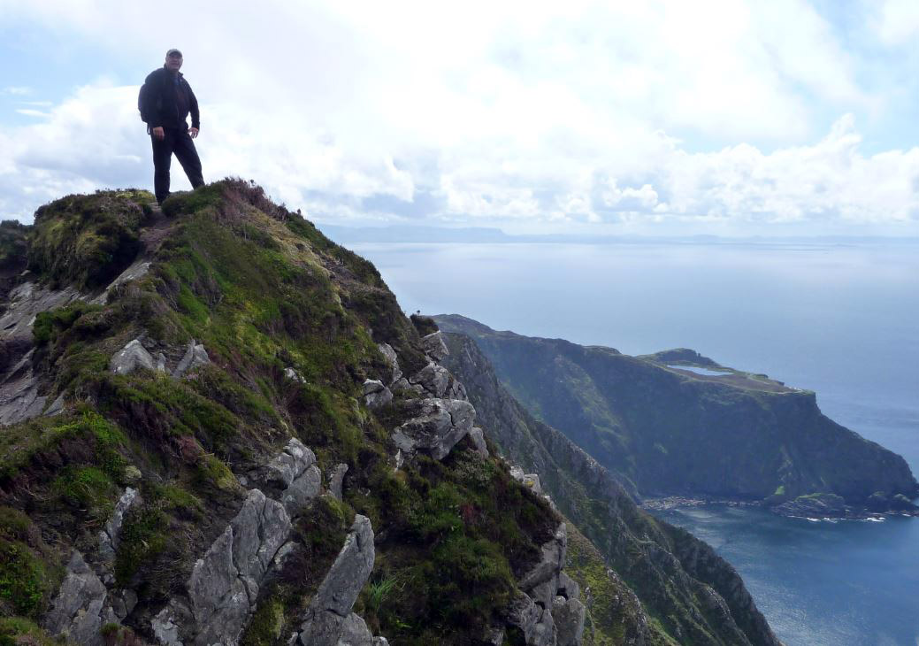
![]() One Man Pass and The
Summit of Slieve League Now Dead Ahead
One Man Pass and The
Summit of Slieve League Now Dead Ahead
![]() The Start of One
Man Pass
The Start of One
Man Pass
![]() One Man Pass
One Man Pass
![]() Stomach in Chest
Out
Stomach in Chest
Out
![]() The Summit of Slieve
League
The Summit of Slieve
League
![]() Leaving Slieve
League for Malin Beg
Leaving Slieve
League for Malin Beg
![]() Down Steeply
Towards the Sea
Down Steeply
Towards the Sea
![]() Come on and Join me
Come on and Join me
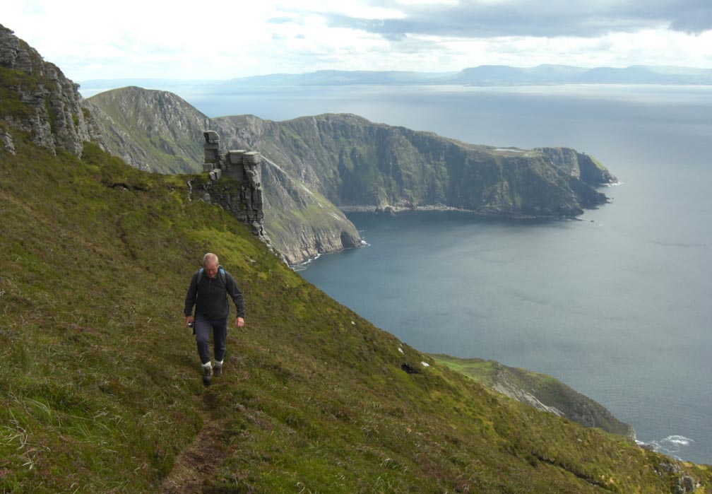
![]() Looking Back to
the Car Park From The Rock Tower
Looking Back to
the Car Park From The Rock Tower
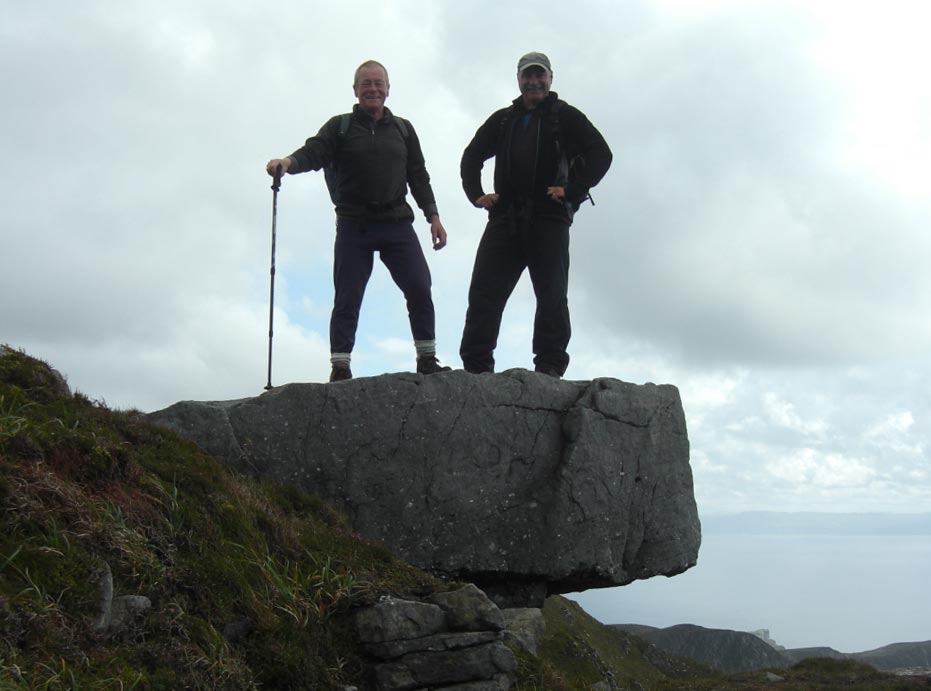
![]() All Smiles at the Rock Tower
All Smiles at the Rock Tower
![]() Leaving The Tower
Behind
Leaving The Tower
Behind
![]() Even More Steeply
Down
Even More Steeply
Down
![]() Its Not That Funny
Walking on Peat
Its Not That Funny
Walking on Peat

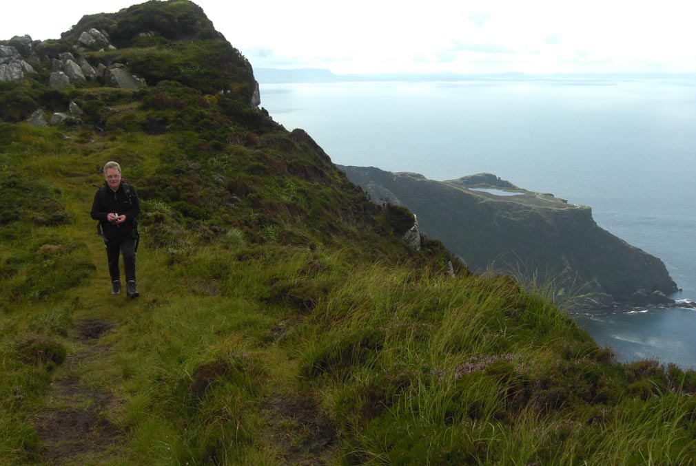
![]() On the Edge of the
Peat Bog
On the Edge of the
Peat Bog
![]() Leaving the Cliffs
Behind for the Beach
Leaving the Cliffs
Behind for the Beach
![]() First Sight of The
Beach at Malin Beg
First Sight of The
Beach at Malin Beg
![]() The Beach Looks
Even Better the Nearer we Get
The Beach Looks
Even Better the Nearer we Get
![]() Nearly There Now
Nearly There Now
![]() Where is Everyone
Where is Everyone
![]() Wow What a Way to
End a Walk
Wow What a Way to
End a Walk
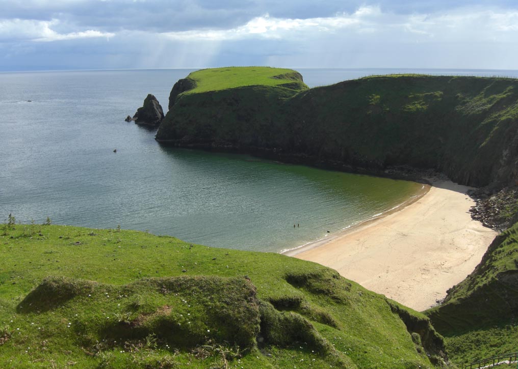
![]() It's Not That Cold
It's Not That Cold
![]() The Beach From The
Car Park
The Beach From The
Car Park
![]() Saturday
4th
August 2012 Poison Glen Horseshoe, County Donegal,
Eire.
Saturday
4th
August 2012 Poison Glen Horseshoe, County Donegal,
Eire.
![]() Heading off into
Poison Glen Towards The Derryveagh Mountians
Heading off into
Poison Glen Towards The Derryveagh Mountians
![]() We are Aiming for
the Dip in the Ridge
We are Aiming for
the Dip in the Ridge
![]() The Dip is Really
a Crag and Looks More Intimidating the Nearer we get to it
The Dip is Really
a Crag and Looks More Intimidating the Nearer we get to it
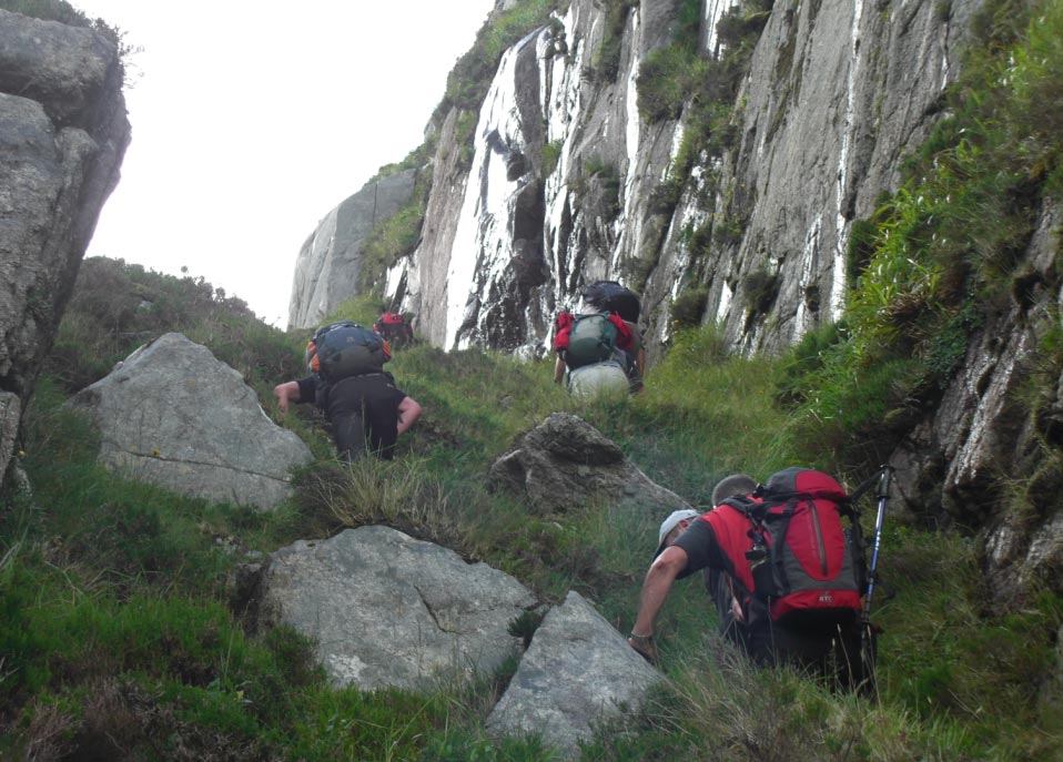
![]() Up we go
Up we go
![]() Looking Back Down
Poison Glen From Inside the Crag
Looking Back Down
Poison Glen From Inside the Crag
![]() Nearing The Top of
The Crag
Nearing The Top of
The Crag
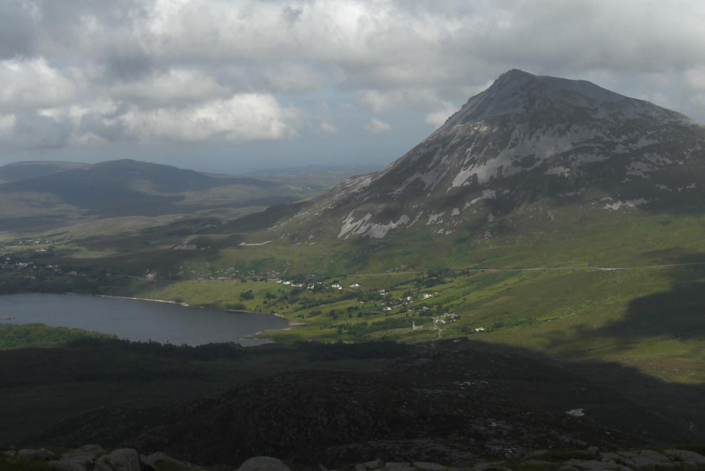
![]() Errigal Looking
Down on Lough Dunlewy
Errigal Looking
Down on Lough Dunlewy
![]() High on The Ridge
Now
High on The Ridge
Now
![]() Going up Again
Going up Again
![]() Then Down Again
Then Down Again
![]() That Looks Like More up
That Looks Like More up
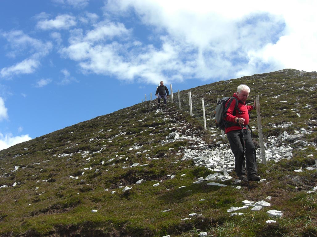
![]() Still Going up
Still Going up
![]() At Last The
Highest Point on Our Walk Slieve Snaght
At Last The
Highest Point on Our Walk Slieve Snaght
![]() Now The Down Bit
Now The Down Bit
![]() Very Steadily we
Pick Our Way Down
Very Steadily we
Pick Our Way Down
![]() Still Going Down
Still Going Down
![]() Back on the Level
Ground
Back on the Level
Ground
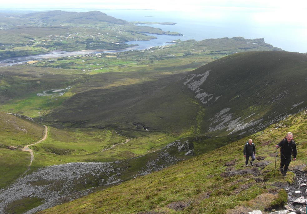
![]() Making Our Way
Slowly Back Through The Bog
Making Our Way
Slowly Back Through The Bog
![]() Errigal Getting
Nearer all the Time
Errigal Getting
Nearer all the Time
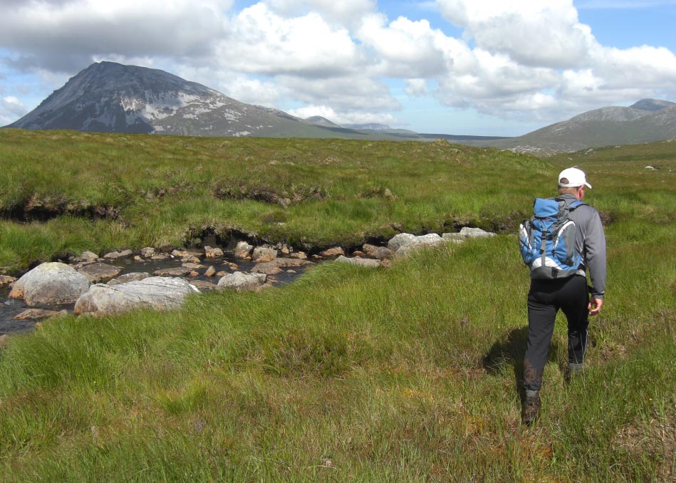
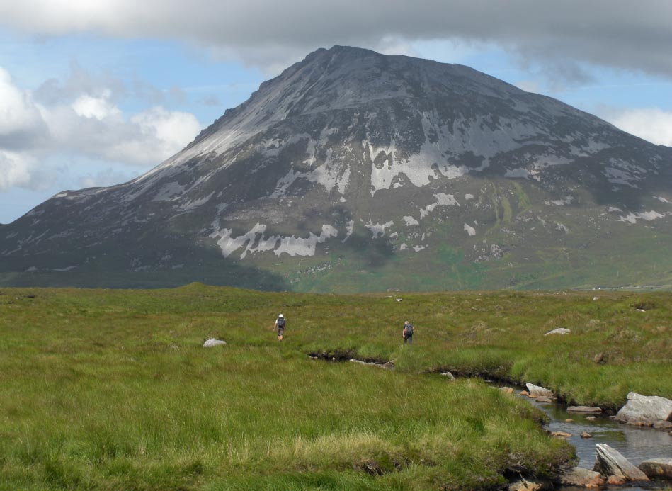
![]() The River is Our
Guide Through This Boggy Flat Bit
The River is Our
Guide Through This Boggy Flat Bit
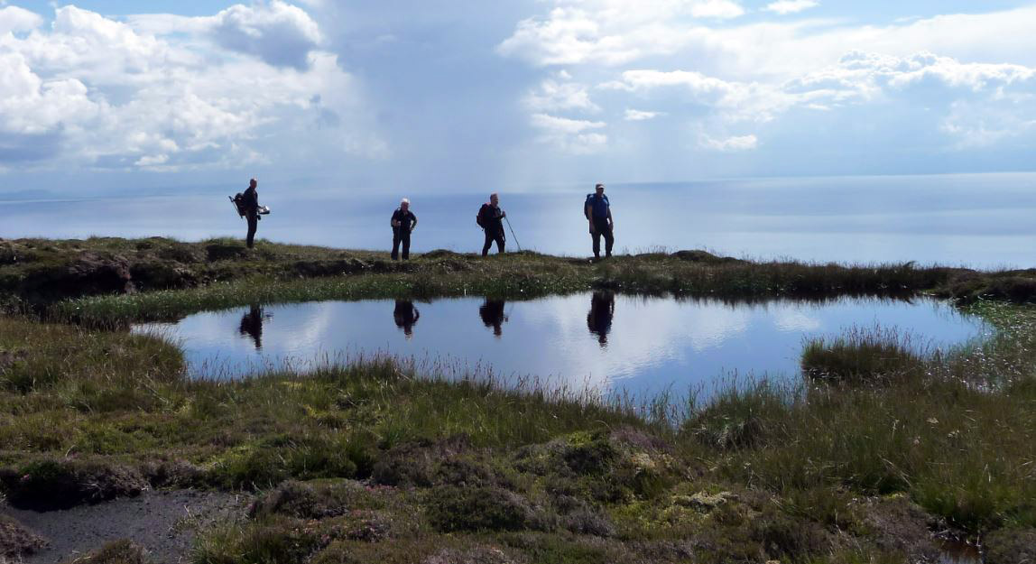
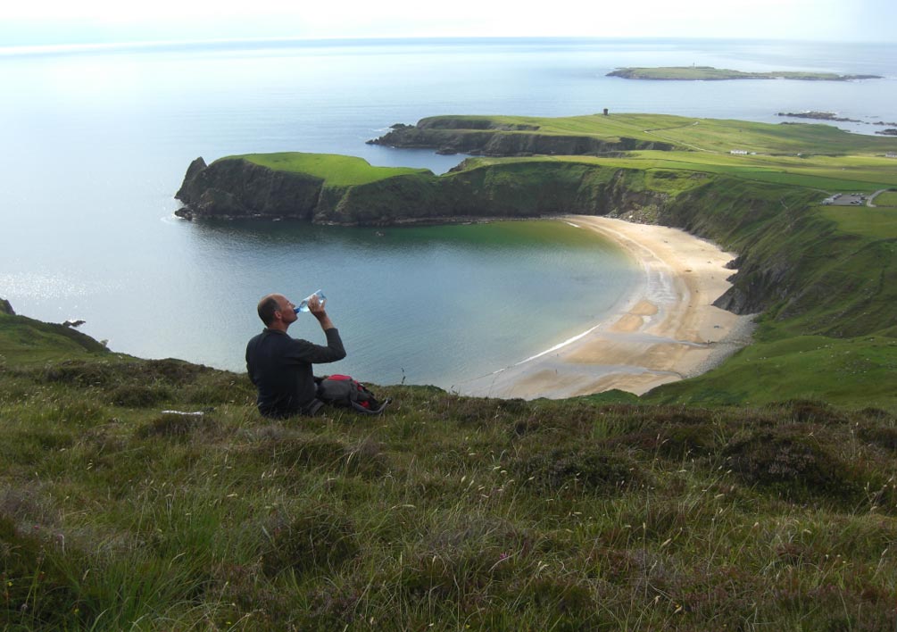
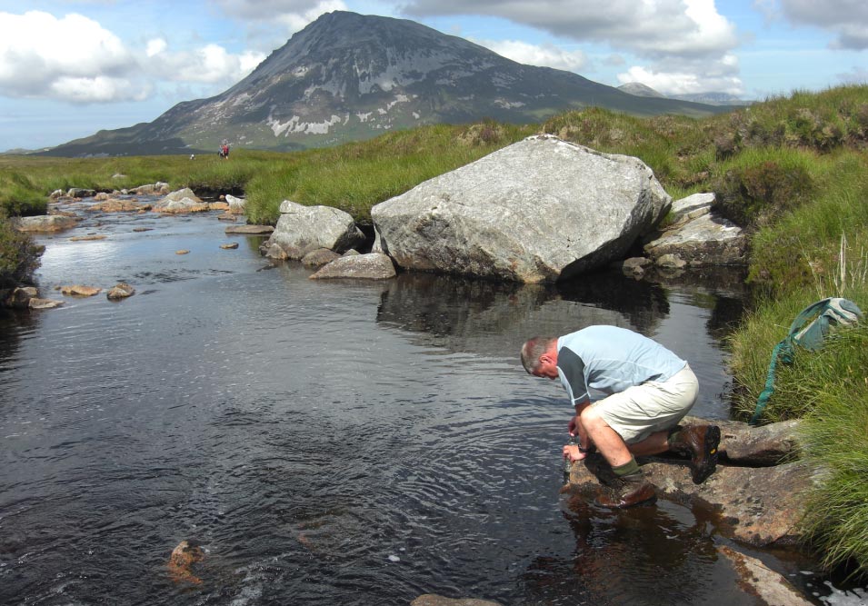
![]() A Quick Drink
A Quick Drink
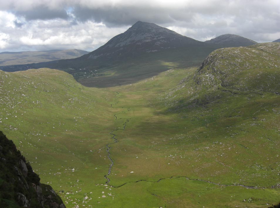
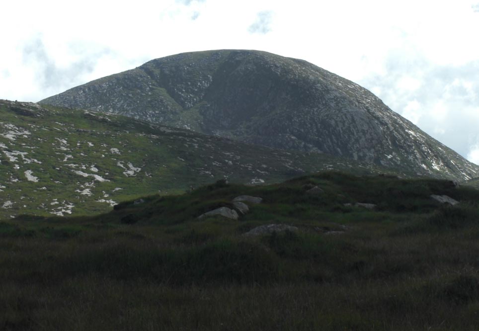
![]() Errigal
Errigal
![]() Errigal Looking
Down on The Old Church at Dunlewy
Errigal Looking
Down on The Old Church at Dunlewy

![]() Looking Back at
Slieve Snaght
Looking Back at
Slieve Snaght
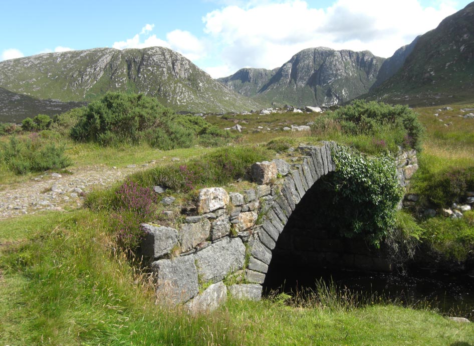
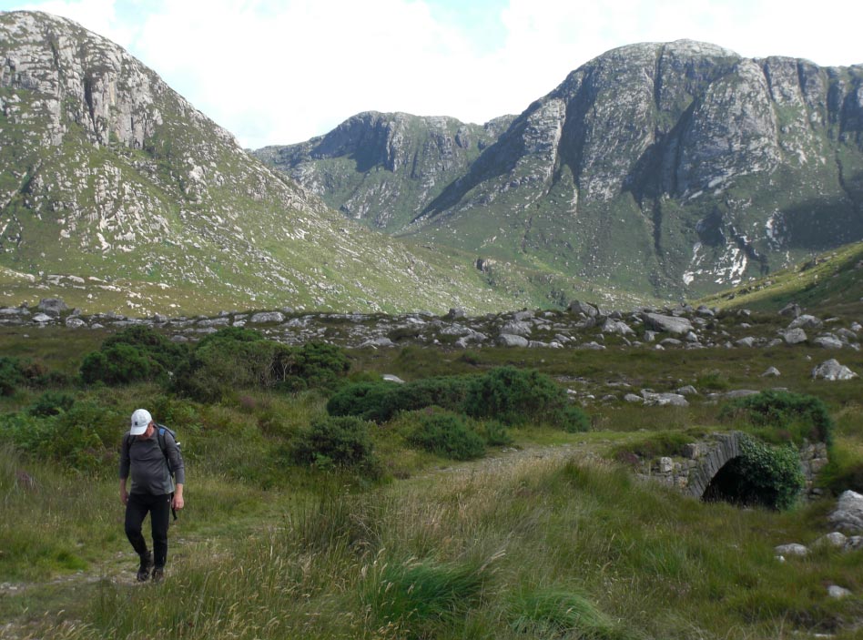
![]() The Old Pack Horse
Bridge and The Derryveagh Mountians From Near Dunlewy
The Old Pack Horse
Bridge and The Derryveagh Mountians From Near Dunlewy
![]() The Last View of
Poison Glen
The Last View of
Poison Glen
|
|
Copyright © 2012 [Antonio Siwiak]. All rights reserved. |